

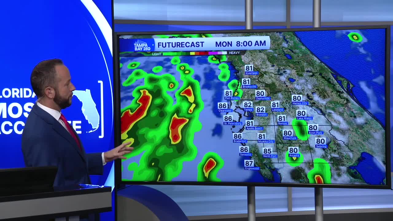


I hope you had a wonderful weekend! Many of us in the coastal counties got some serious rainfall from Friday though today. Inland spots, not so much, but we'll see another chance Monday before the rain chances taper down for all us by Tuesday.
All eyes are on Tropical Depression Two about 125 miles to our west. It's stalled right now and will continue to focus bands of showers and storms over the coastal areas through early Tuesday morning. Locally heavy rain and isolated waterspouts are possible. In the areas that have seen 4"+ of rain this weekend, watch for localized flooding as well.
As TD Two moves away, drier air will likely move back in overhead, and that should cut the rain chances down quite a bit for the rest of the week. Rain coverage will drop to 20% starting Tuesday afternoon, and stay there through the end of the week. We'll get a slight bump up to 30% by Friday.
As always here this time of year, without the rain and clouds, we get really hot. Highs will return to the mid 90s with heat indices at or above 105.
