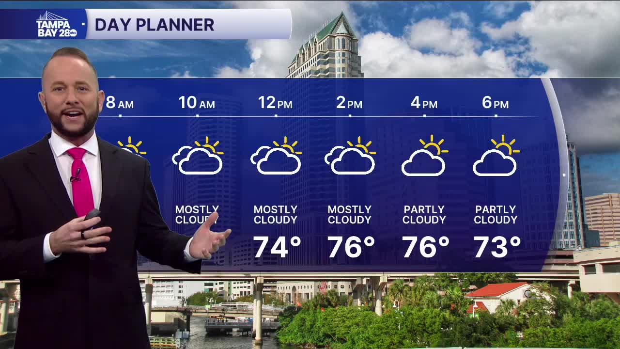


Expect partly to mostly cloudy skies today with a few showers and storms, mainly south of I-4 and inland. Coverage will be spotty around 30% vs the 80% we had last night.
Speaking of last night, many areas picked up 0.5" to 1.5" of rain! That's the most we've seen so far this year. It won't bust the drought, but it will definitely help with the dry vegetation and wildfire concerns.
Today, that shower chance will be around 30% as the front slowly continues to move south. Highs will top out in the mid to upper 70s.
Tonight, the front will move south and bring a nice drop in humidity and slightly cooler morning temps for Sunday morning.
Sunday afternoon, we'll see highs in the upper 70s with sunny skies.
Next week starts a big warm up, and it looks like this warm up will last through the first half of March. No significant shots of cool air are showing up in the extended outlook.
