

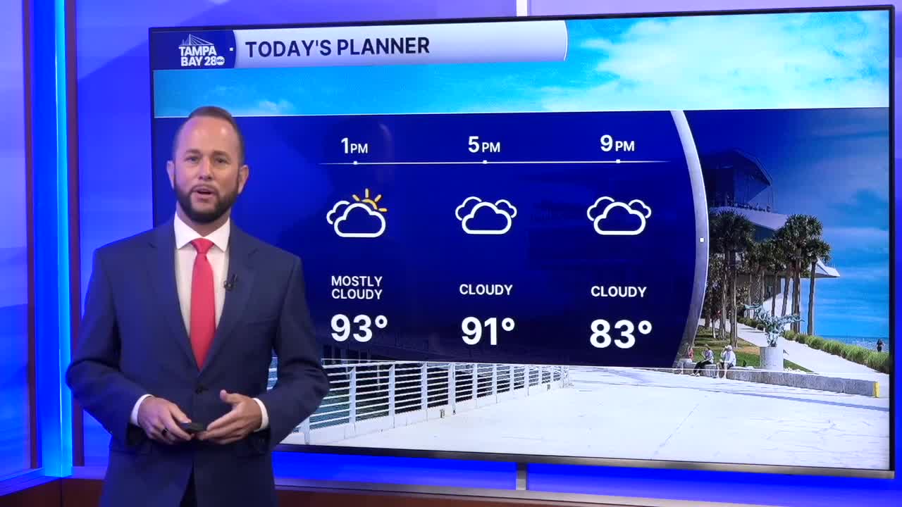


Expect a partly cloudy day today with more clouds north and more sunshine south. A weak front has stalled along the I-10 corridor, and it's bringing clouds and even some rain to our northern spots today.
Areas north of I-4 will have the best chance of rain as the front pushes a line of showers and storms south. Citrus and Hernando are the most favored areas for rain today. The farther south you go, the lower the chance. We'll hold it at around 30% along I-4. Southern spots, you'll have the lowest rain chance today with more sunshine and the hottest temps in the mid to upper 90s.
The front will do the same thing tomorrow with a better chance for a few showers and storms in our northern spots.
By midweek, the front fizzles out, and we'll see hot and sunny conditions with more Saharan dust aloft keeping rain chances low.
By the end of the week, rain chances increase slightly but remain below what we normally see this time of year.
