

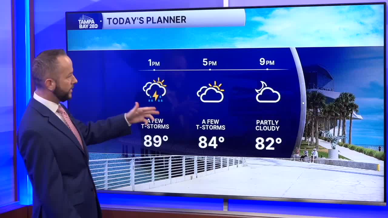


Scattered showers and storms will move inland through the rest of the afternoon as the west wind continues to push the sea breeze east. We'll see this same set up for Tuesday. By Wednesday, the east wind returns which will change up the timing of the storms.
This afternoon, the rain chance is around 40% with the better coverage east of I-75 after 2 p.m. Tomorrow, our rain chance is 50% and like today, we'll start with a few showers and storms at the coast with a push inland by the early afternoon.
Wednesday, our east wind returns. That will dry us out in the mornings and make it a bit hotter in the afternoons with highs climbing back into the mid 90s away from the coast. The sea breeze will get held west of I-75 while the Atlantic sea breeze heads our way with the east wind.
This will result in better storm coverage from Wednesday into the weekend at the coast, with the main timing being mid to late afternoon into the evening.
