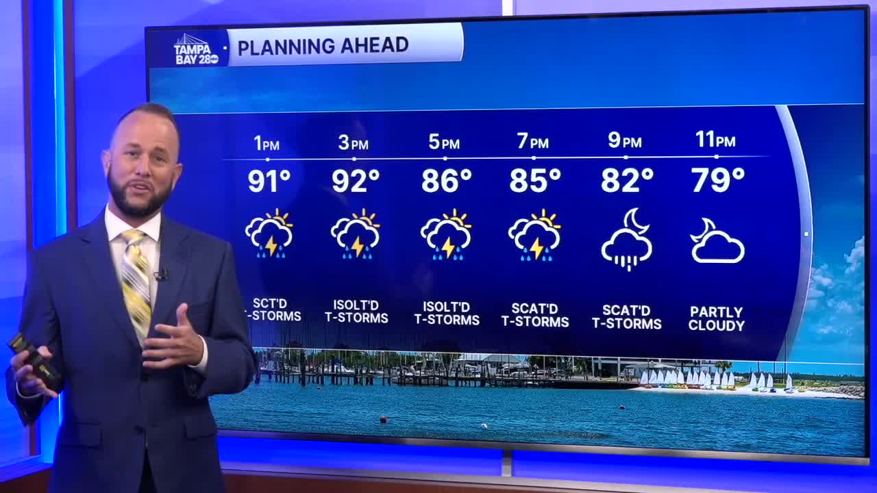


After a few lucky spots near the coast saw some rain this morning, the bulk is shifting inland as our winds are still out of the southwest. That pattern is finally about to change, and we'll start to see higher rain chances back west to the coast soon.
This afternoon, best coverage will be east of 75 with some trying to develop west. Expect highs in the low to mid 90s with heat indices 100-105.
Tomorrow, we'll see a chance for the sea breeze to fire up a few showers and storms near the coast in the morning, drifting inland in the afternoon.
As we head into the weekend, the west wind pattern finally breaks down. We'll see high pressure move north of the area, and that will allow the wind flow to return out of the east. That means our more typical rainy season pattern will slowly begin, where showers and storms move from inland spots to coastal towns late in the afternoon.
