

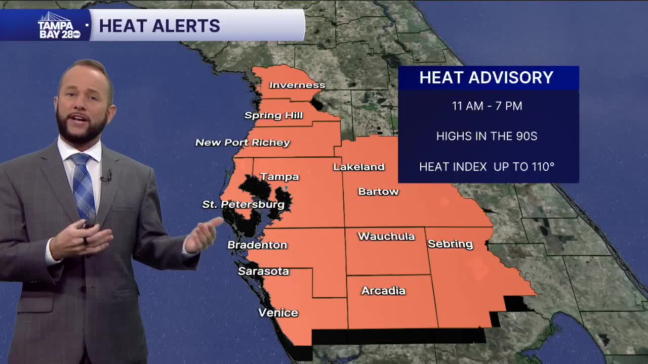


Happy Saturday! Expect another hot one with a few scattered afternoon showers and storms. High temps will top out in the low to mid 90s, with a few upper 90s inland. Heat indices will top out around 105 to 110. The numbers may be just a little lower today with some added clouds coming by.
We have a weak upper level low pressure system moving through the Peninsula this weekend. It'll work to help bring in some added clouds and a few showers and storms. Rain chances will be around 40% today and 30% Sunday. Isolated severe weather is possible but we shouldn't see the widespread threat like Friday afternoon and evening.
Next week, more Saharan dust is expected to move in overhead. That should lower the rain potential to 20-30% for the beginning of next week.
