

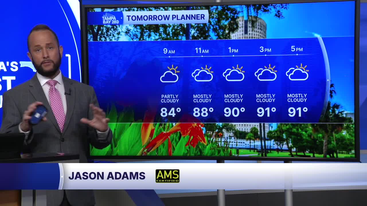


After much lower coverage of showers and storms today compared to yesterday, we'll see the same forecast setting up for us Sunday. Expect partly cloudy skies with increasing clouds and shower and storm chances up to 40% by the afternoon. Highs will top out in the low to mid 90s with heat indices in the 100 to 105° range.
Next week, a strong plume of Saharan dust and dry air aloft move over the Sunshine State. That will once again lower rain chances to 20% starting Monday. By the middle and end of the week, coverage may come up just a little bit, but still stay well below our typical rain chance for mid July.
The good news with all this Saharan dust??? Nothing is expected to develop in the tropics for the next two weeks. It may even help keep the tropical Atlantic quiet through the rest of the month! We'll let you know if anything changes.
