


Happy Sunday! We're expecting a repeat forecast of Saturday today which means rain chances around 40-50%, hot temps and high humidity.
The sea breeze will drift onshore between 11 am and 2 pm and that will trigger a few pop up showers and storms near the water, and those will gradually drift inland through 3 pm.
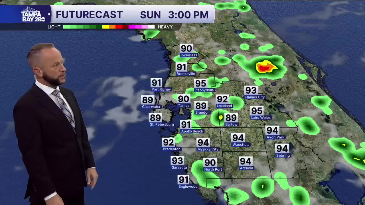
From 3 to 6 pm, scattered storms are likely along and east of I-75. Some of those storms will then drift west to the coast heading into tonight, just like we saw Saturday night.
Next week, Monday looks pretty much the same as today. By Tuesday, we'll see the higher rain chances as deeper moisture moves into the area. Rain coverage should get up to 60% and stay there through Independence Day.
