



Big pattern change on the way next week!
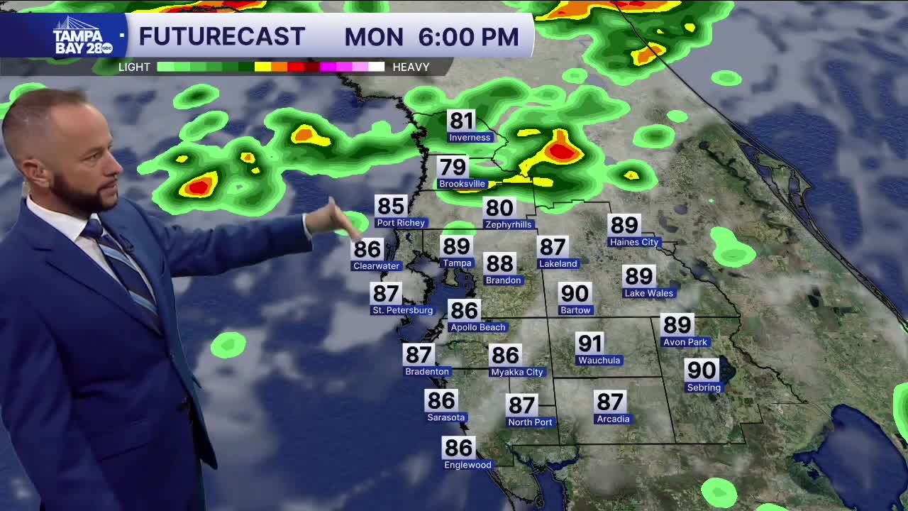
Monday, we'll see similar weather to today which means most of us stay dry, with a few scattered afternoon and evening storms. The better coverage will stay north of I-4 where a weak cold front will slowly head our way from the I-10 corridor.
Tuesday begins the pattern change. Wet weather is likely from Tuesday - Thursday, with some locally heavy rain totals. Most pick up an inch or two, but some spots may exceed three. The cold front will stall somewhere around the I-4 corridor and stick around for a few days with periods of wet weather. It won't rain all day every day, but the rain coverage will be much higher.
By Friday into Saturday, that same front will lift back to our north, and that will get us back to our more typical rainy season pattern of afternoon and evening storms.
