

Scattered showers and thunderstorms could move into the area Tuesday afternoon as a large swath of rain in the northern Gulf drifts toward Florida.
Chief meteorologist Denis Phillips said models are showing a bullish chance for storms by mid to late afternoon, with the heaviest rain expected inland east of I-75. Along the coast, showers are still possible as the line moves through.
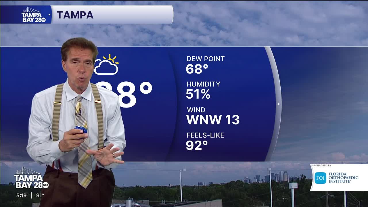
The timing points to clouds building through the morning, followed by rain chances increasing in the afternoon and lingering into Wednesday before a front clears the region. Dry and hot conditions are forecast for Thursday through the weekend, with highs climbing into the low to mid-90s.
