

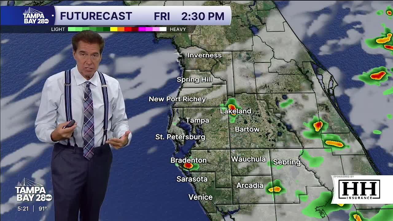


Tampa Bay is staying hot and mostly dry for now, but a return to Florida’s typical late-summer weather pattern is expected by the weekend.
Chief Meteorologist Denis Phillips said temperatures climbed into the upper 90s inland Wednesday, with feels-like temperatures topping 100 degrees in several spots. Humidity levels continue to push heat index values close to advisory criteria across the area.
Rain coverage remains limited through Thursday morning, but moisture is expected to increase beginning Friday as southeast winds bring more showers and thunderstorms back into the state. Most of the rain is expected during the afternoon and evening hours, making mornings generally drier for outdoor plans.
Phillips said the pattern heading into next week could become even wetter as a front approaches the region, something he noted can happen more often during El Niño conditions. Rain chances are expected to rise through the weekend and into early next week.
Meanwhile, Tropical Storm Bertha remains away from Florida and is not expected to create major impacts for the Tampa Bay area, though some rougher boating conditions remain offshore.
