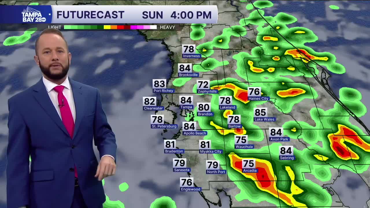


Showers and storms are likely today and Monday ahead of a cold front that will bring in much cooler weather by Tuesday.
Today, expect a 30% chance of rain at the coast, with areas east of I-75 up to 60%. The sea breeze will fire up a few showers and storms as everything drifts inland for the afternoon. Isolated severe storms are possible but the risk is low.
Monday, a cold front arrives in the afternoon and it will bring a line of showers and storms off the Gulf between noon and 6 p.m. Isolated severe weather is possible with the front as well.
Tuesday, temperatures drop significantly as highs struggle to reach the low 60s. Low temps will drop into the 40s both Tuesday and Wednesday, with some spots north of I-4 in the upper 30s Wednesday morning. No frost or freeze is expected.
Temperatures begin to warm back up from Thursday through the rest of spring break!
