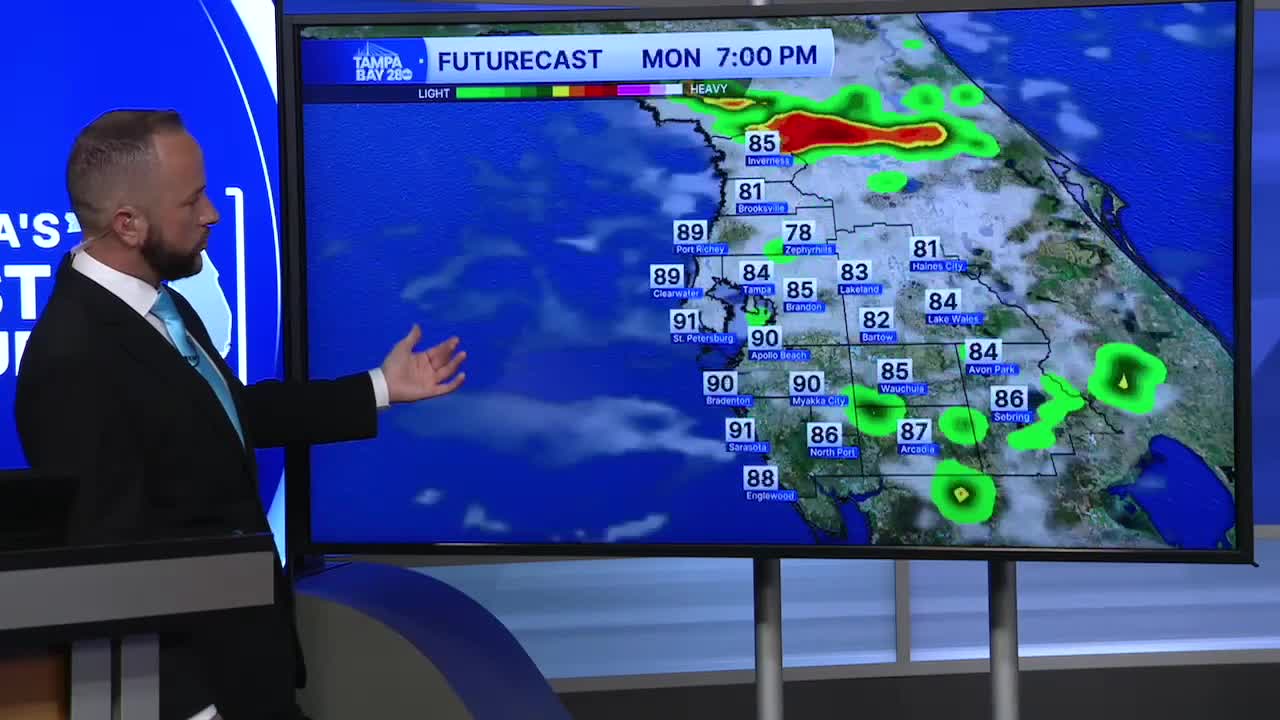


Showers and storms are finally making their way back west to the coast over the next week. A few of those showers reached the coast this weekend, but most stayed inland. Next week, our east wind pattern will help shift some of that rain west.
The sea breeze will be what kicks off the rain first as it moves onshore Monday near the beach. It will drift inland with rain chances around 40-50%. Highs reach the low to mid 90s with heat indices 100-106.
Tuesday, moisture will be much more available to kick off widespread showers and storms. Rain chances climb to 60-70%, and they'll stay at 60% through the rest of the week.
While it's too early to pinpoint rain timing for Independence Day, storm chances are around 60%. We usually see the bulk of the storms dissipate heading into the fireworks displays, so we're hopeful for that this year as well. We'll definitely keep you posted all week!
