


We've got a weak cold front on the way Monday, but don't get excited. It won't bring any cooler air with it. In fact, we actually get hotter behind it thanks to a shift in the wind.
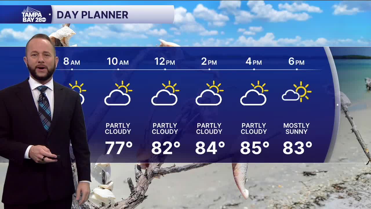
Today, expect pretty much the same forecast as yesterday. We'll see highs in the low to mid 80s at the coast, with mid to upper 80s inland. Winds continue to come in off of the Gulf, which will keep temps cooler west of 75.
Monday, the cold front will move in by the afternoon. We do have a slightly higher rain chance compared to today, but only up to 30%. More importantly with this front, winds shift from the west to the east/northeast. That will keep the sea breeze at the coast and bring all the inland heat back west to over the next few days.
Tuesday, we'll see partly cloudy skies with highs in the low 90s along I-75, upper 80s at the coast and inland. The east wind will set up through the rest of the week, so hot temps are here to stay.
Our next cold front arrives next weekend, and it could bring a drop in temps. We'll keep you posted on that next week!
