

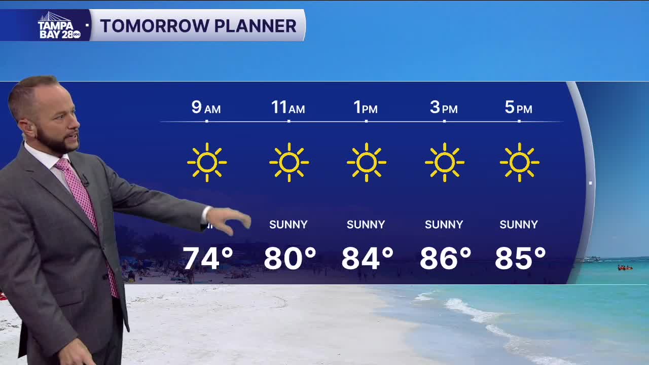


Today's showers and storms are out of here as our latest cold front moves east tonight. That front will bring in some pretty nice weather to start the work week with sunny skies and lower humidity!
Monday morning, we'll see low temps 5-10° cooler than this morning with most areas in the mid to upper 60s, with low 70s near the water. Monday afternoon, expect sunny skies with highs in the mid to upper 80s. Still hot but right around our average highs for this time of year. The humidity will be noticeably lower!
The quiet weather pattern holds through the end of the week with a pop up shower or two possible from Wednesday on.
Next weekend, another front looks to arrive Saturday, and right now, models show a decent temp drop with highs in the 70s by Sunday! We'll keep you posted through the week, but congrats Tampa Bay... you've finally made it to cold front season!
