

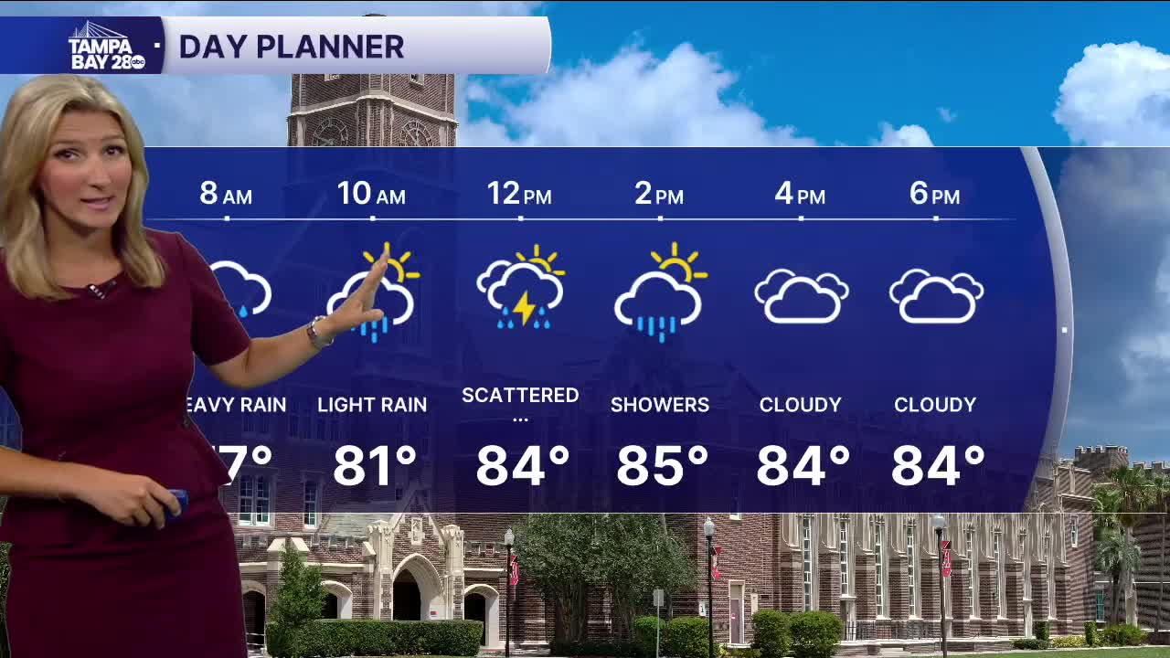


TAMPA, Fla. — Our rain starts offshore early Saturday morning before some of those storms move inland. Coastal neighborhoods will be the ones to wake up to some rumbles of thunder in the distance. Rain falling onto the windowpanes will not be far behind, especially for areas like Sarasota County, where some light showers are falling early Saturday morning.
While rain will not create a complete washout on Saturday, we can expect Sunday to have a more scattered chance of storms. Expect times of heavy rain will mean low visibility on roadways and pooling of water in susceptible, low-lying areas. Rain can be expected on and off throughout the day Sunday with scattered storms which can be stronger at times producing frequent lightning and some gusty winds. We will keep you updated with the latest on-air and online with any changes that come about.
TROPICS | As of the 2 AM update from the NHC, the area of development over Florida and the northern gulf has a 10 percent chance of development over the next 48 hours and a 30 percent chance over the next 7 days. Either way, our impact will be from rain (heavy at times) falling on and off over the next few days.
