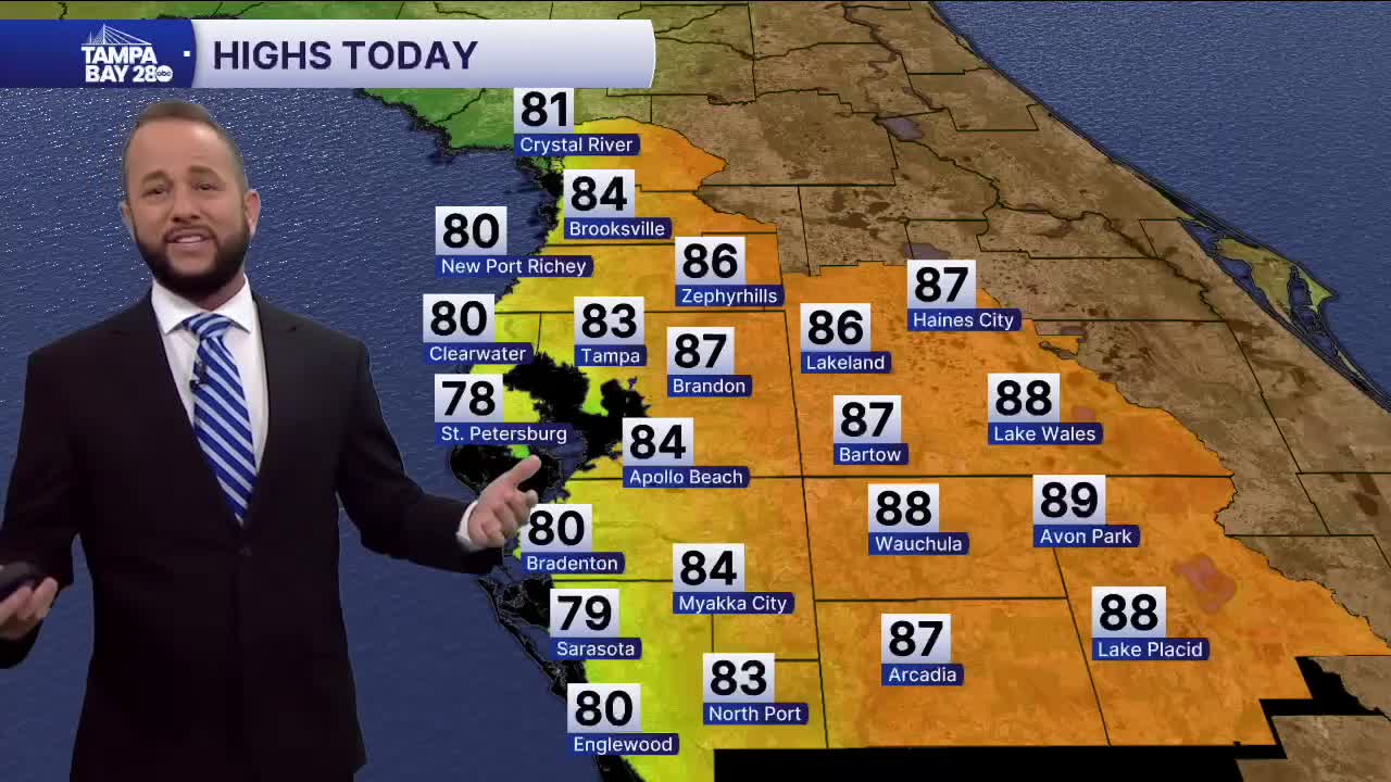


Expect another very warm day today with partly cloudy skies and highs well above average. The average high is 71 and many of us will be 10-15° above that. Record highs in the upper 80s will be possible in our far inland spots along highways 17 and 27!
The arctic front will arrive tomorrow morning between 4 and 8 a.m. Temps will be warm, around 70° but drop once the front passes into the 50s by 4 p.m. It'll be a day where we hit our high temp in the morning, not the afternoon. A few showers will be possible tomorrow morning as well as the front passes by.
Tuesday morning, we'll see temps drop into the 30s for most of us, with 20s possible north of I-4. A Freeze Watch is in effect for Tuesday morning for the Nature Coast. Wind chills will drop into the 20s and 30s.
Below average temps will linger for the next 10 days which is quite unusual for us to see such a prolonged period of cold weather.
