


Expect another hot and muggy afternoon with partly cloudy skies today. Temps will reach the low to mid 90s inland, with upper 80s at the coast. Heat indices could top 100 in a few inland spots.
Rain chances are 10% at the coast, 20% along I-75, and 30% inland. Any rain that develops today will move inland as we saw over the weekend, with the highest rain chances over to I-95.
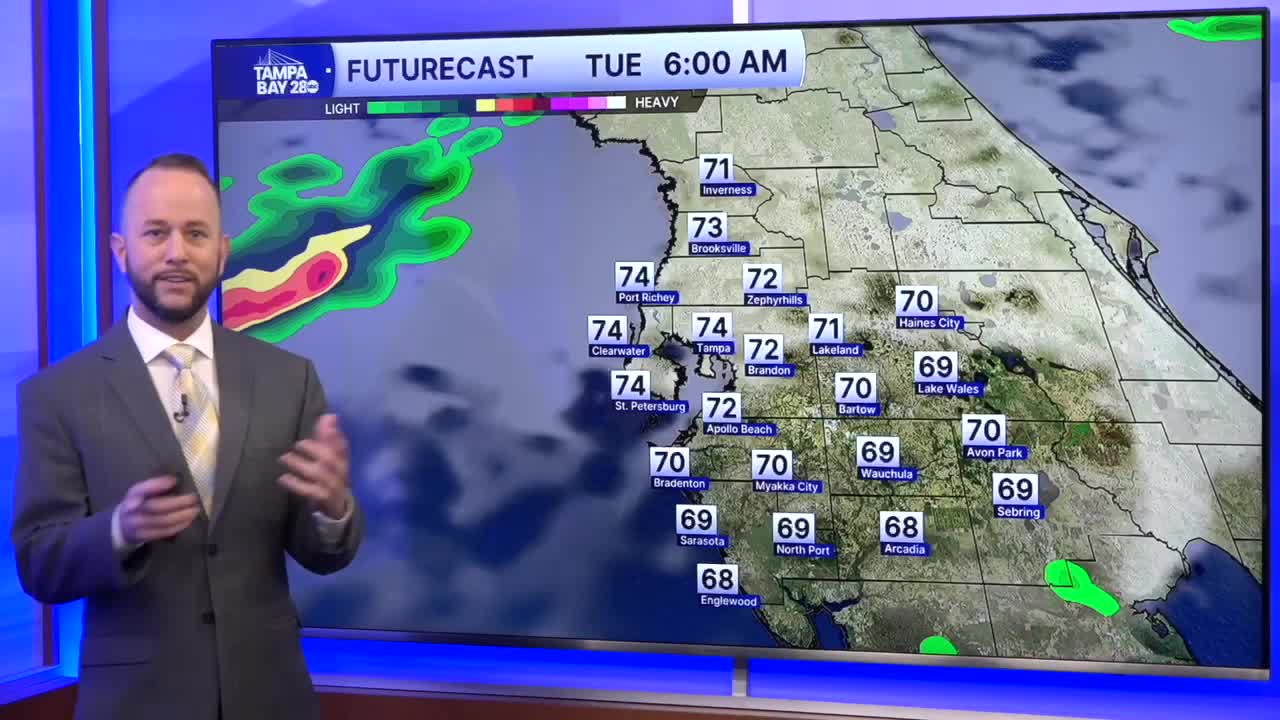
Tuesday, a cold front arrives and it will bring a better chance for showers and storms. The highest coverage will be north of I-4 and east of I-75, but a few pop-ups are possible in the lower-risk areas as well.
Wednesday, a few showers linger into the morning hours with drier air arriving later in the day.
