

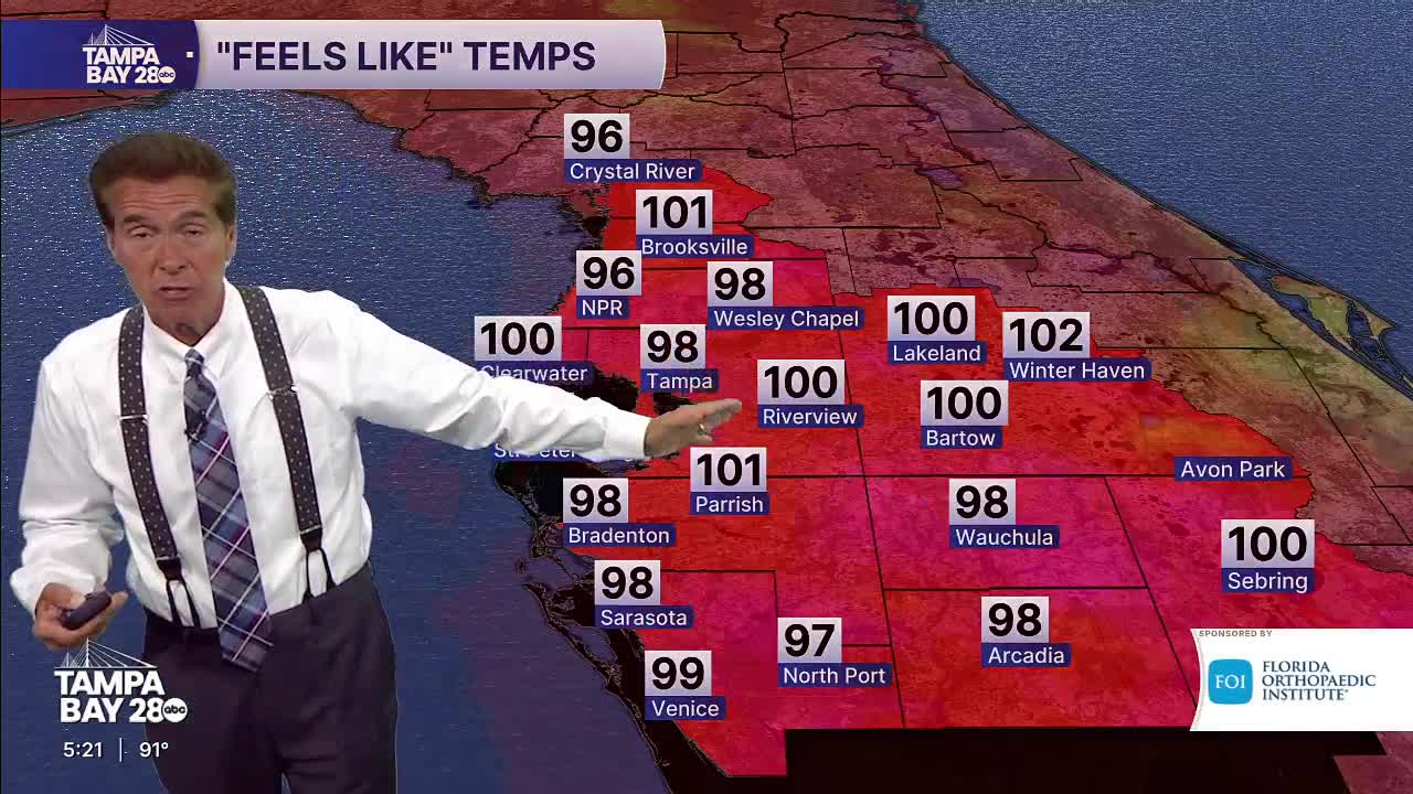


After several unusually dry and hot days across the Tampa Bay area, changes are on the way heading into the weekend. Chief Meteorologist Denis Phillips says Saharan dust has kept rain chances low while helping temperatures climb into the upper 90s across inland communities.
The dry air has also reduced humidity, keeping “feels like” temperatures lower than those typically seen during Florida summers. Even without widespread heat advisories, many areas still pushed close to 100 degrees during the afternoon.
That pattern is expected to shift by late Friday as more moisture moves into the region and a low-pressure system develops nearby. Rain chances will steadily increase through the weekend, with the best opportunity for widespread showers and thunderstorms arriving Sunday and Monday.
While forecasters are not expecting a complete washout, residents should plan for periods of rain, more clouds, and cooler highs in the low 90s early next week.
