



TAMPA, Fla. — Good evening, Tampa Bay!
After another cloudy and rainy day, expect rain chances to stick around overnight. Low temperatures will be in the mid to upper 70s.
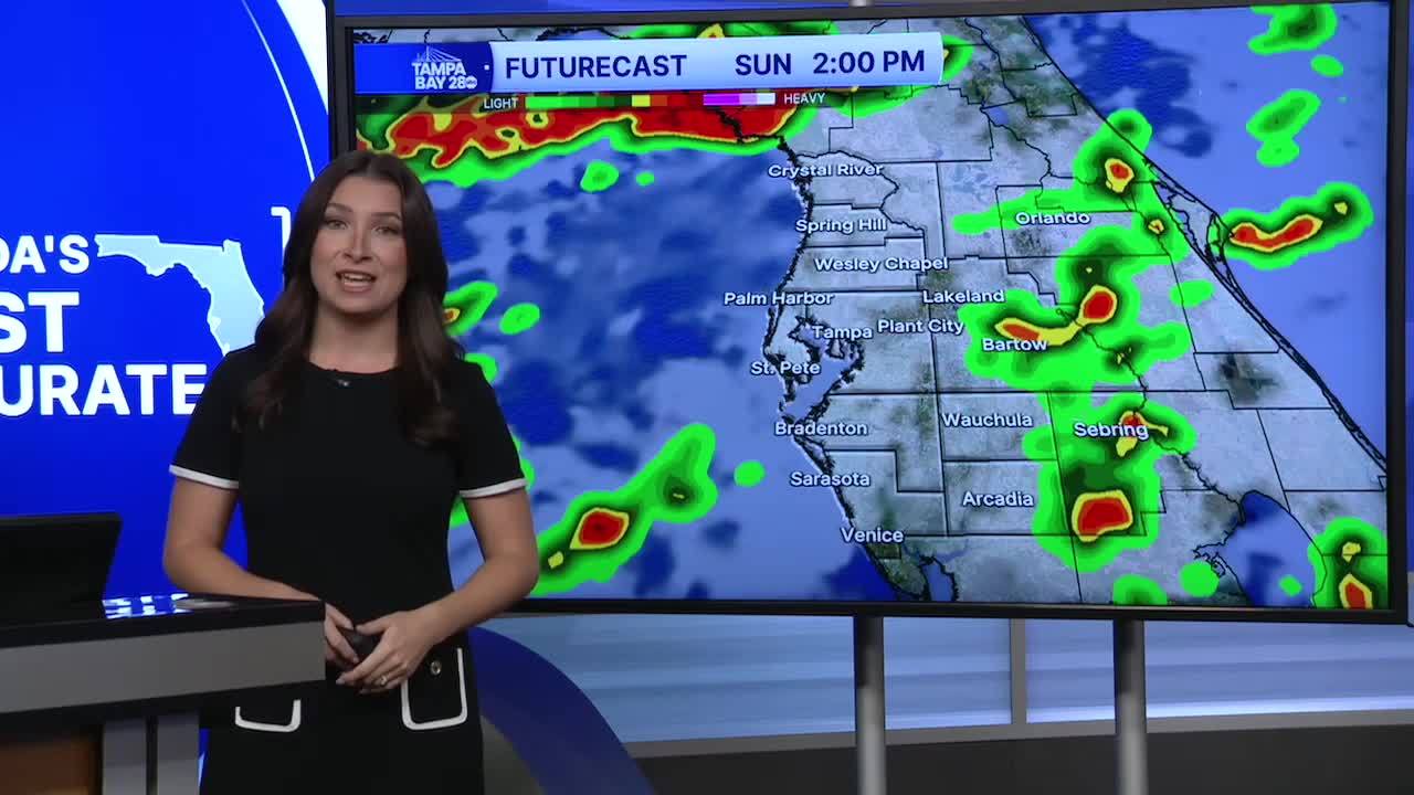
A flood watch is in effect for Citrus and Hernando counties until 8 p.m. Monday, as the heaviest rain is expected north of Tampa.
We could see four to eight inches of rainfall, with even higher amounts in some spots. Heavy rainfall could lead to flooding over the next few days.
More rain is on the way for Sunday. There is a 70% chance of showers and storms, with a high temperature in the upper 80s thanks to the rain and cloud cover.
This wet pattern continues into Monday. By Tuesday, we'll finally see a change in the pattern and return to a more typical summer forecast, with morning sunshine followed by afternoon showers and storms.
