


Today's cold front continues to move into South Florida tonight. That will end any remaining inland showers and storms after sunset.
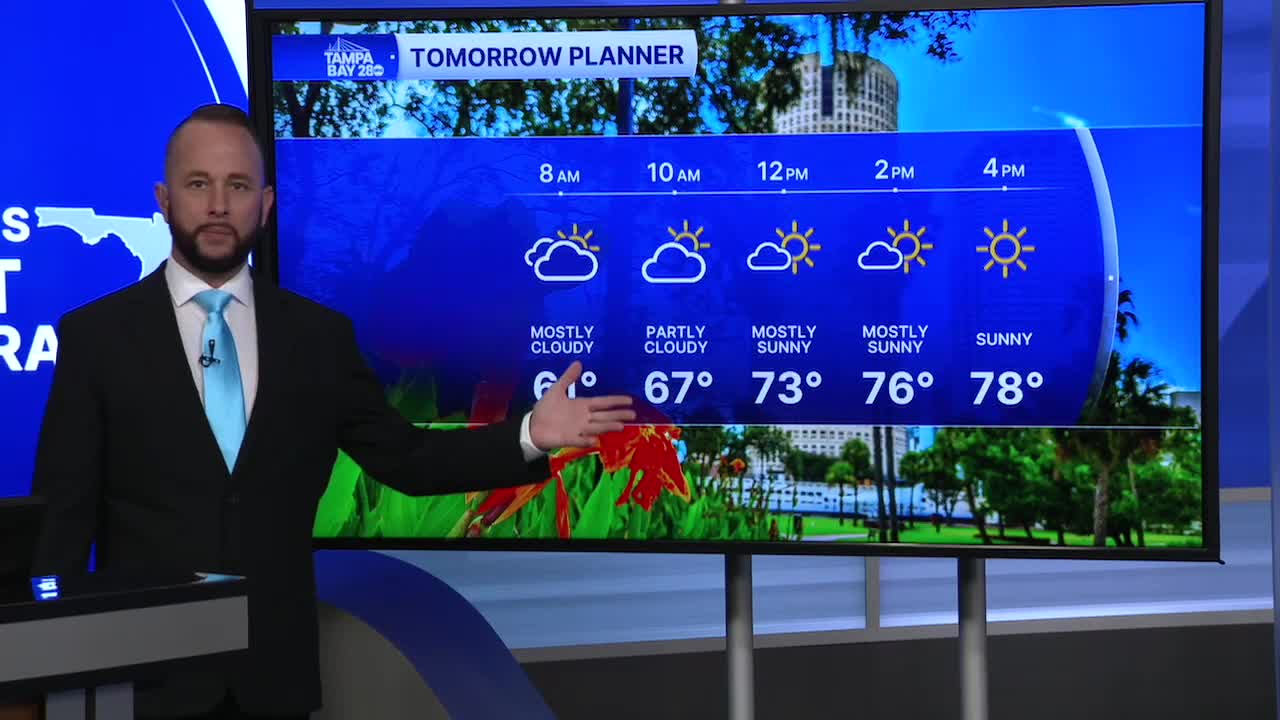
Sunday morning, temps will be a little cooler than this morning as the humidity begins to head south with the front. We'll start with upper 50s and lower 60s. Any remaining clouds with the front by sunrise will also shift south through the morning, with sunny skies for all by the afternoon. Highs will top out in the upper 70s and lower 80s.
Next week, we'll see a big pattern change, and one that favors gusty east winds, warmer high temperatures, and a slight shower chance. Highs will reach the mid to upper 80s by mid week, with a few showers coming in off the Atlantic. Coverage will be low, only around 30%.
