

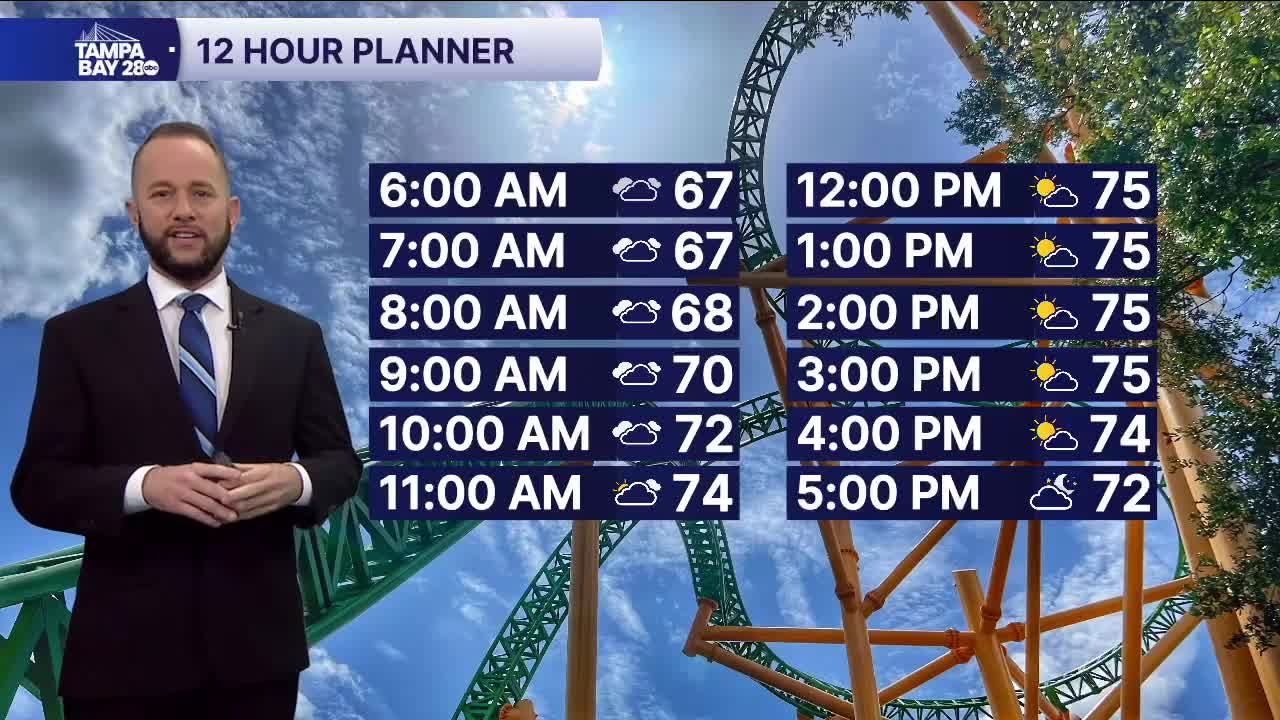


Expect a gradual decrease in cloud cover today as the front that has been stalled across our area for nearly a week now finally lifts north. That will allow us to see more sunshine from south to north, with northern spots holding onto the clouds the longest.
I-4 and areas south will see the sun return by noon with highs in the mid to upper 70s, with a few low 80s in our southern zones. North of I-4, the clouds may linger a little while longer with highs in the low to mid 70s.
Tomorrow, we'll already see some clouds return as our next front heads our way. Tuesday, expect mostly cloudy skies. Wednesday, we'll see a few showers and a storm or two as the cold front arrives.
It will clear out just in time for Thanksgiving with temps much cooler, only in the upper 60s and lower 70s!
