

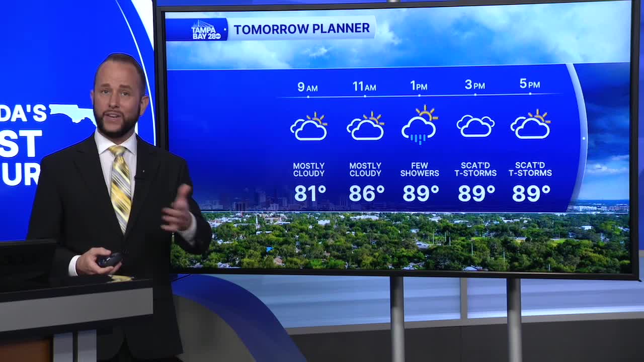


The west wind has returned, and that has changed up the timing of the rain and who sees the highest rain coverage. Expect conditions to remain the same through at least Tuesday of next week.
Friday morning, an isolated shower or storm is possible at the coast, but it won't be nearly as widespread of a risk as what we started our Thursday with. Friday afternoon, the best shower and storm coverage will be east of I-75.
This weekend, expect much of the same. A chance for morning showers or storms at the coast with a better risk for showers and storms east of 75 by the afternoon. Highs will stay in the upper 80s and to around 90, with beach temps around 86.
Next week, storm coverage will begin to return more west to the coast by the middle of the week as our east wind is set to return then. That brings the highest coverage and heaviest totals back to the I-75 corridor and west to the beach. We'll keep you posted!
