


This is the latest on today's severe weather risk as of 5 p.m.
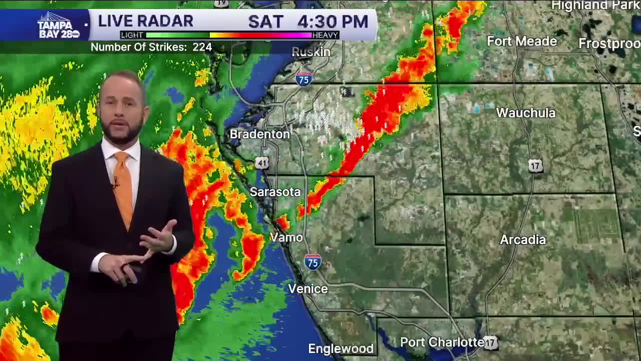
Hi again! I'm back with the latest update on the storms. Good news! The Tornado Watch has been cancelled. Storms continue to move inland and weaken, so the severe risk is really tapering down compared to what we saw early today. We knew the risk wasn't that great, but a few areas did see winds gusting up to 50 mph.
For the rest of the evening, the strongest line of storms will move inland. Once that line passes to your east, your in the severe clear. Just a few more hours of light to moderate showers will move in off the Gulf, especially for our I-4 zones and south.
Overnight, we'll see the skies slowly clear up north, with a few more clouds lingering through sunrise south. Sunday afternoon, we'll enjoy mostly sunny skies with much lower humidity and temps in the low 80s.
This will be my last video update as the severe weather threat is really winding down. Hope you didn't have any damage from the gusty winds, and you were able to enjoy that sweet, beautiful rainfall!
