

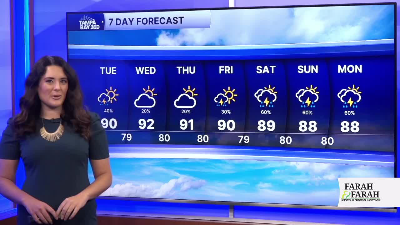


TAMPA, Fla. — Good Tuesday afternoon, Tampa Bay! Pop-up showers and storms are on the horizon, with temps in the upper 80s and low 90s. The Storm Prediction Center does have us under a level 1/5 risk for strong to severe storms.
The coverage will drop over the next few days as Saharan Dust takes over on Wednesday and Thursday. Thursday could be the driest, and thus the hottest day of the week.
We're still looking at the potential for a weak, broad low-pressure system forming in the northeast Gulf around the weekend. This would increase cloud cover and the chance of rain around through Saturday and Sunday.
Have a great day!
