

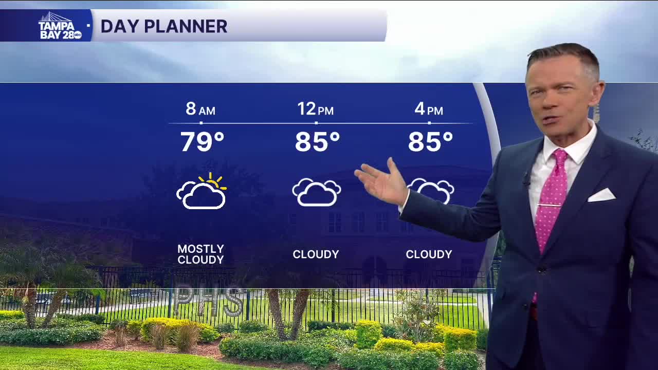


We're waking up to mostly cloudy skies and more rain on the radar.
The rain will impact the coast through the first half of today (areas west of I-75). The highest concentration of rain will be from the Bay and points north. Temperatures in these locations will stay in the 80s for afternoon highs. Farther east, there will be less rain and more sun so temperatures will likely reach the low 90s.
Expect more sct'd to widespread rain along the coast on Tuesday morning. The rain will then start to break apart by the afternoon. Highs on Tuesday will reach the upper 80s.
By Wednesday, we'll begin to shift to an offshore flow. The rain chances will stay high but the timing will change to more in the afternoon and evening giving us a drier start to each day for the second half of the week.
With the rain coming in later in the day, temperatures will rise back up into the low to mid 90s.
