


The coldest weather in a while is here to stay.
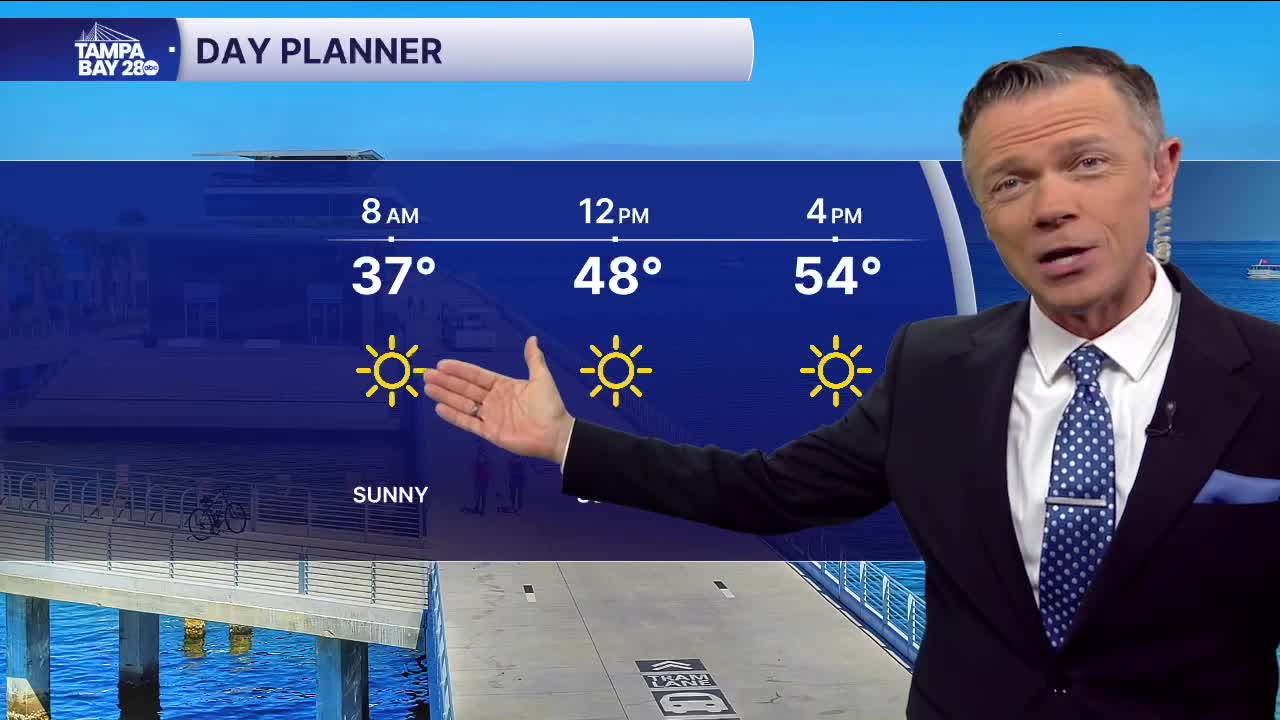
We're waking up to temperatures in the 30s this morning, but the strong north breeze is making it feel like it's in the 20s at times. Skies will be beautiful and sunny today, but temperatures will stay in the 50s all day. Stronger winds in the morning will drop off a little in the afternoon.
Freeze warnings have been extended farther south into Polk and interior Hillsborough counties for Wednesday morning. Wednesday afternoon will be sunny and cool with highs in the upper 50s and some low 60s south of I-4.
Another freeze is likely on Thursday morning. This one could impact areas farther south of I-4, down to Avon Park and Arcadia. More sunshine returns on Thursday afternoon with highs finally above 60 degrees.
The "warmest" day of the week will be Friday with highs in the mid and upper-60s. We'll see plenty of sun on Friday before clouds increase late in the day and overnight.
Scattered rain is likely on Saturday morning. Saturday morning is likely to be mild, but it will turn sharply colder for the afternoon as the rain moves out. Temperatures for the Pirate Invasion midday are likely to be in the 50s, then fall into the low 40s for the start of the parade and then quickly into the upper 30s as the parade progresses. Winds will make it feel much colder. Safe to say this will be one of the coldest Gasparilla events on record.
The forecast for Sunday for the Stadium Series will be perfect for outdoor hockey. Daytime highs will only reach the 40s, with temps likely falling into the 30s during the match.
Stay warm!
