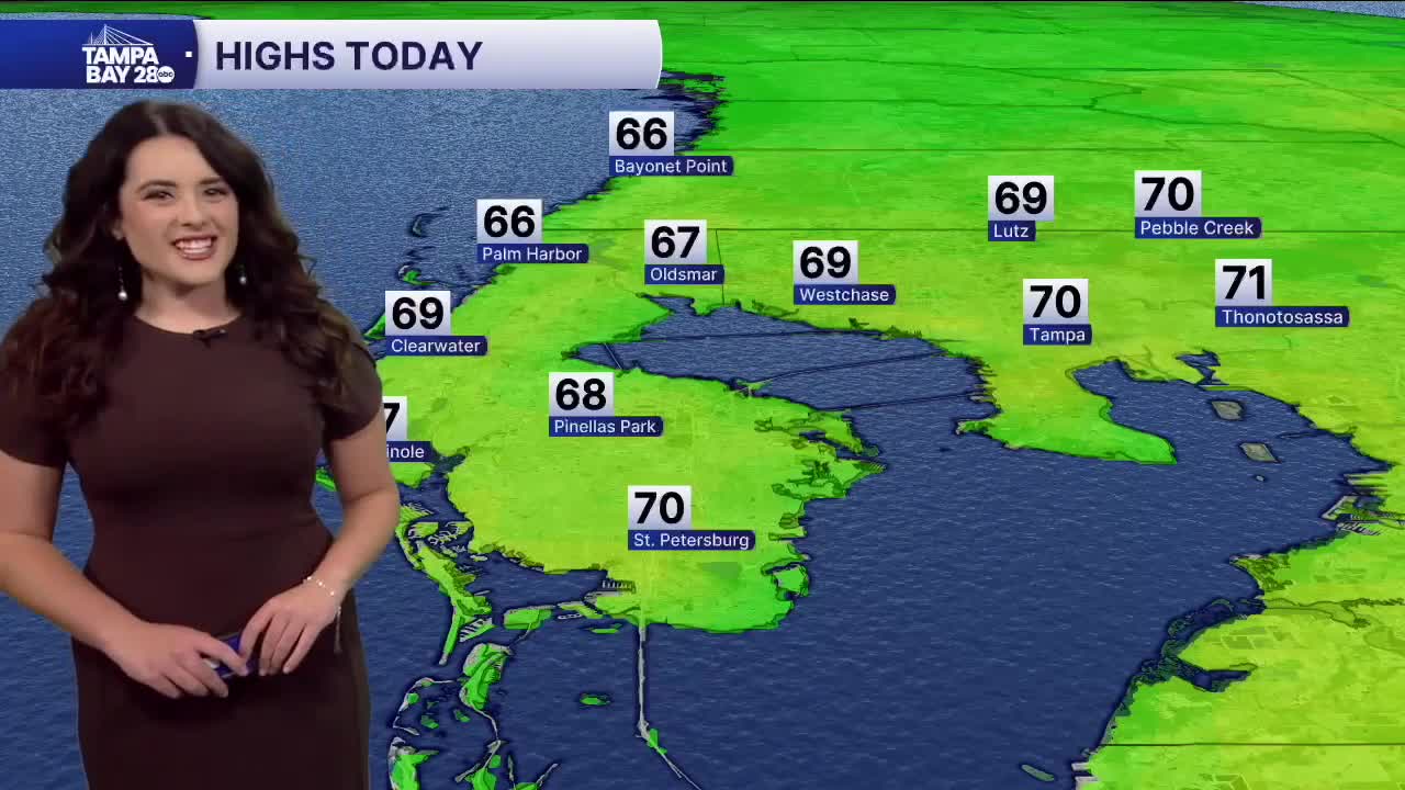


TAMPA, Fla. — Good Monday morning, Tampa Bay! It is a chilly start after yesterday's front with temps in the 40s and 50s as we step out the door. Highs eventually rise to the upper 60s and low 70s with partly cloudy skies. We also have a High Rip Risk in effect for today.
Later this evening, more clouds thicken from the south, and a shot for some isolated sprinkles looks favorable on Tuesday. Morning lows in the 50s with highs near 70 degrees.
Wednesday brings in our next cold front with a better chance for showers and maybe a rumble of thunder. Models are still hammering out the timing, the front may carry over some much-needed rain into Thursday, too. Thursday could see gusts up to 30 mph. Temps in the 60s both days.
Friday is where we see a BIG drop in temps! Lows in the 30s and 40s for most of our area, with temps struggling to get to 60 by the afternoon. The weekend slowly milds up before another front approaches.
I hope you all have a great day!
