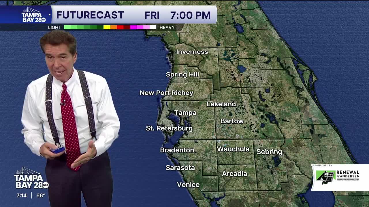
Thursday morning is expected to bring widespread dense fog across the region, with visibility potentially dropping to near zero. A weak front moving through may produce an isolated shower, but the main weather impact will be the fog, which could linger until mid-morning before clearing. Similar conditions are expected Friday, especially south of I-4, as moisture levels remain high.
When smoke from brush fires and fog mix, occasionally it can become something known as "Superfog." Unfortunately, it can be so dense that it makes travel nearly impossible.
While temperatures have been mild for mid-February, with highs in the mid to upper 70s, the next notable rain chance arrives late Sunday into Monday. This timing could affect the Daytona 500, depending on whether the rain holds off until Monday or begins Sunday afternoon, as forecast models disagree. Behind the front, temperatures will briefly cool on Monday before rebounding into the upper 70s and low 80s for most of next week. Phillips also noted the rainfall will be welcome given ongoing brushfire risks in the area, and teased a segment on youth hockey featuring Tampa Bay Lightning representatives later in the evening.


