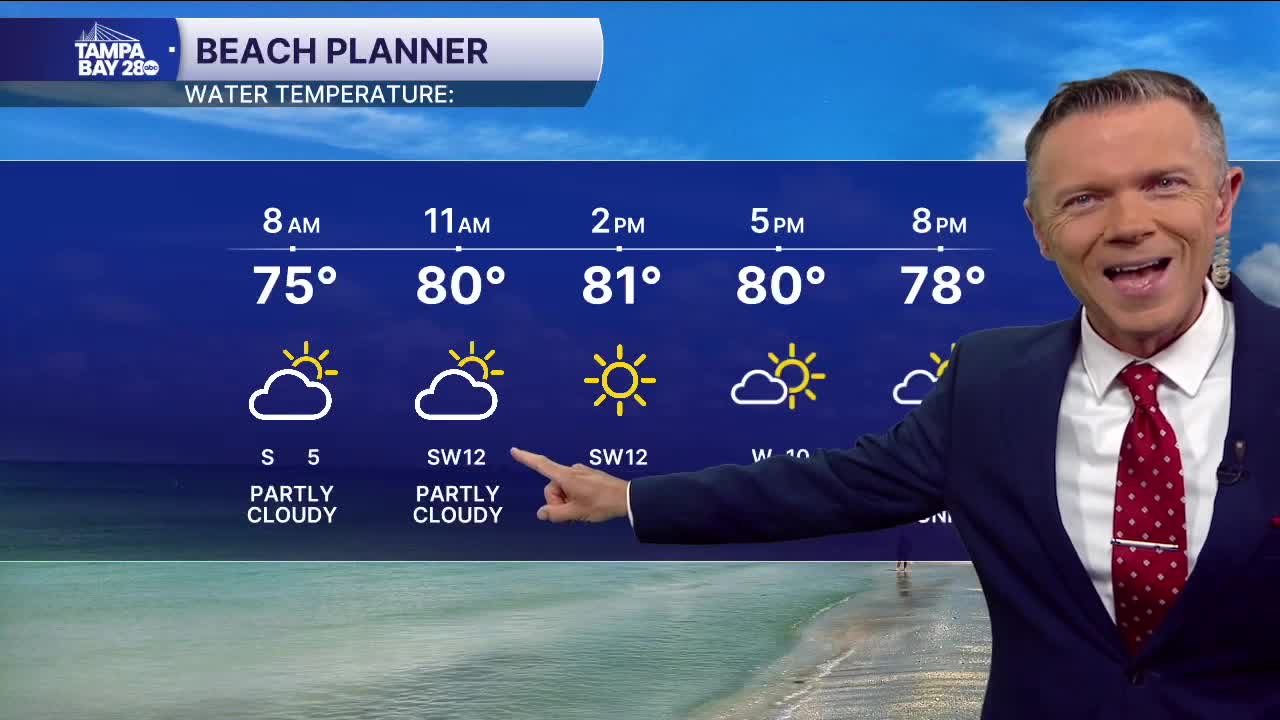


Sea breeze moves in earlier today.
Temperatures are mild to start on this Thursday, with many locations reporting morning temps in the 70s. There may even be a couple of areas of some patchy fog.
Expect mostly sunny skies today and dry conditions. A front in North Florida will bring more of an onshore flow today. This will push the sea breeze in a little earlier, leading to more towns west of I-75 staying in the 80s for highs. East of I-75, highs are likely to return to the low and mid-90s.
Another hot and humid day on Friday. We'll likely see more patchy fog and low clouds early in the day. The afternoon looks partly sunny and hot with highs again ranging from the upper 80s closer to the coast and the low 90s east of I-75. A quick pop-up shower is possible on Friday, away from the coast.
Look for partly sunny and hot weather this weekend. Highs will reach into the upper 80s and low 90s each day. The sea breeze may be able to pop up a quick shower Saturday or Sunday afternoon, though coverage looks very low.
Models point to a stronger system moving through on Monday. This could bring us higher rain coverage during the day.
