

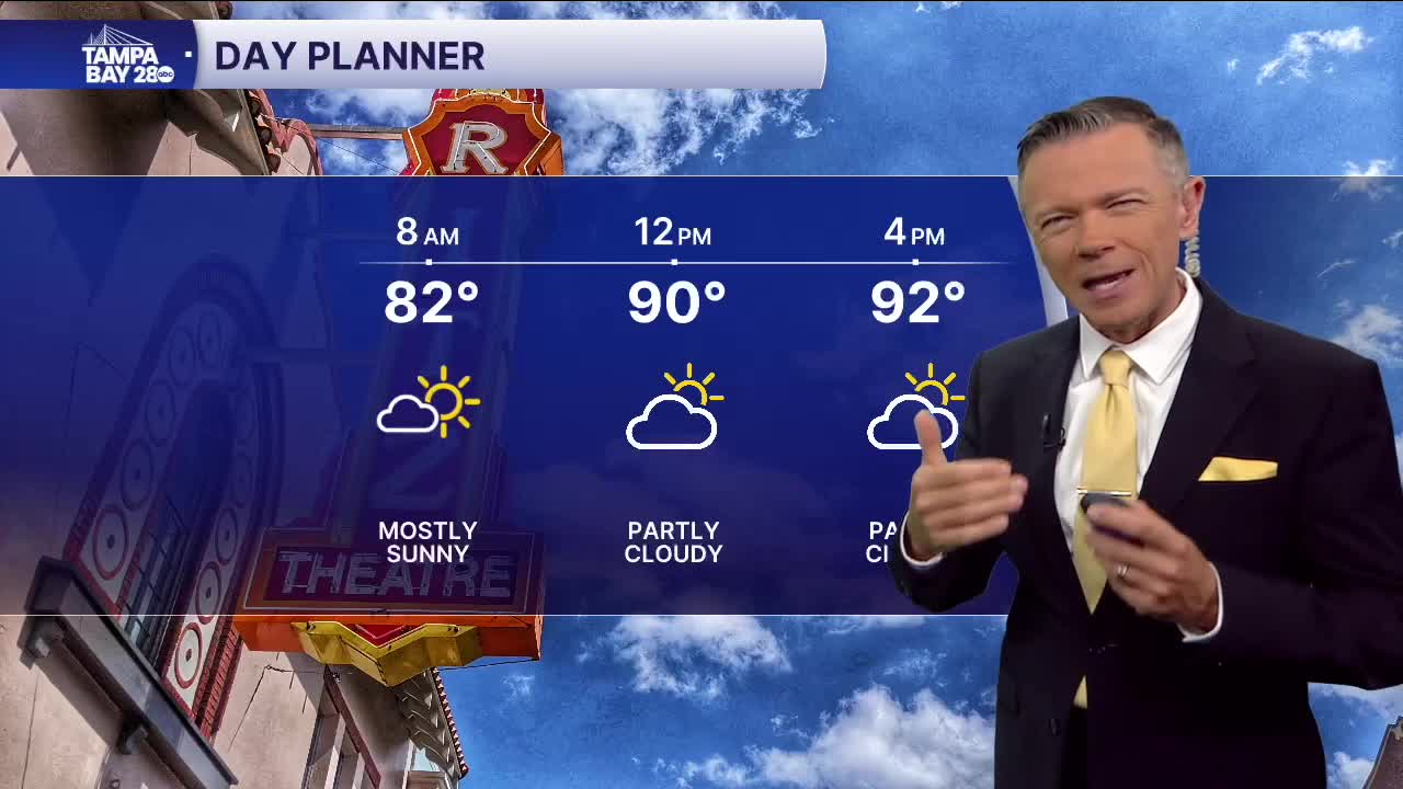


Partly sunny with a 30% chance of PM storms.
Expect the heat to start to build today with less rain in the afternoon. The morning is warmer and more humid than yesterday with no rain on the radar. A few downpours are likely 10am to 2pm around the Bay. These will quickly move east and the rest of the afternoon simply looks hot with highs in the low and mid-90s.
The Saharan Air Layer, or Saharan Dust, will move in late this afternoon. This will make our sunset tonight more brilliant and the sunrises and sunsets over the next 2-3 days will definitely be more vibrant. The dust may also lead to hazy skies, especially on Thursday.
Because the dust brings with it drier air, it's also likely that rain coverage will be lower today and almost gone by Thursday afternoon. With very little rain, some towns around Tampa Bay may warm into the upper 90s or even near 100F Thursday and Friday afternoon.
The rain will slowly return by the weekend with Saturday potentially seeing higher rain coverage along the coast on Saturday afternoon. On Sunday the rain will be focused a little farther east but still sct'd enough to keep our temperatures below the upper 90s.
Stay cool!
