



HEAT ADVISORY 11 A.M. TO 7 P.M.
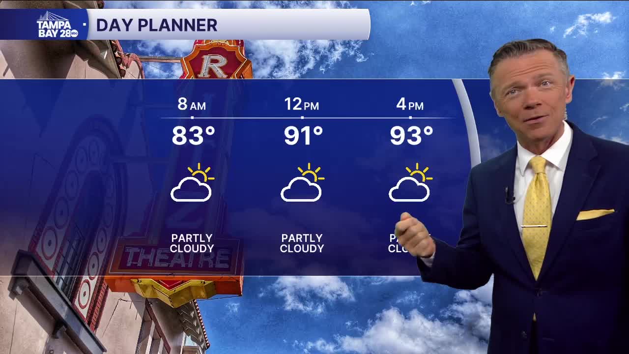
The intense heat is back today. Morning temperatures are warmer than they were yesterday at this time and the heat index is even hotter. We're starting in the 80s near the coast and the upper 70s away from the water. It's already feeling like the mid-90s in some spots. There is no rain around.
There is a 20% chance of a pop-up shower north of I-4 this afternoon. Otherwise, the rest of the area will be very hot. Highs will reach the mid-to-upper 90s, with a "feels-like" temperature of 112F at times.
This will likely be the hottest day of the rest of the week. Rain chances begin to increase Wednesday and into the weekend. Several models indicate that the highest chances of rain on Wednesday may actually be in the morning along the coast, for a few locations. The afternoon will feature rain east of I-75 while the rest just stay hot.
Thursday and into the weekend will seem a bit more like typical August. That still means intense heat and humidity, but at least there will be a chance of scattered afternoon showers.
Stay cool!
