

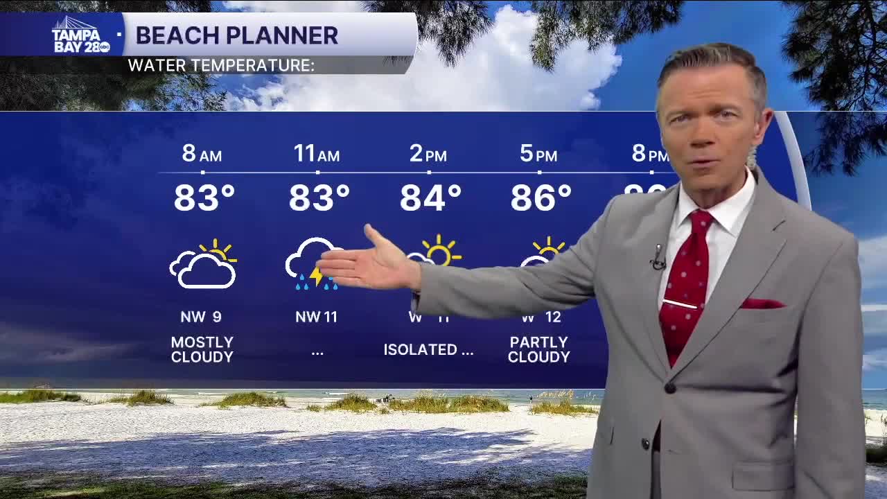


Scattered showers and thunderstorms will be possible this morning in counties that border the Gulf. Some of these will produce locally heavy rain that may cause brief flooding. There will also be lightning with many of the stronger cells.
Coastal showers will weaken as we move toward midday. Look for a period of hazy sun early in the afternoon and highs in the upper 80s and low 90s. There will be a chance of additional pop-ups later this afternoon, mostly east of I-75.
We'll see another shot of some morning rain along the coast on Tuesday, with pop-ups returning east of the coast for the afternoon.
Wednesday will see the lowest rain coverage of the week before rain chances increase again on Thursday. This increase will be thanks to an even stronger front that will get closer to us. This could mean 2-3 days of higher-than-normal rain coverage, along with more clouds and temperatures in the 80s in many places.
