

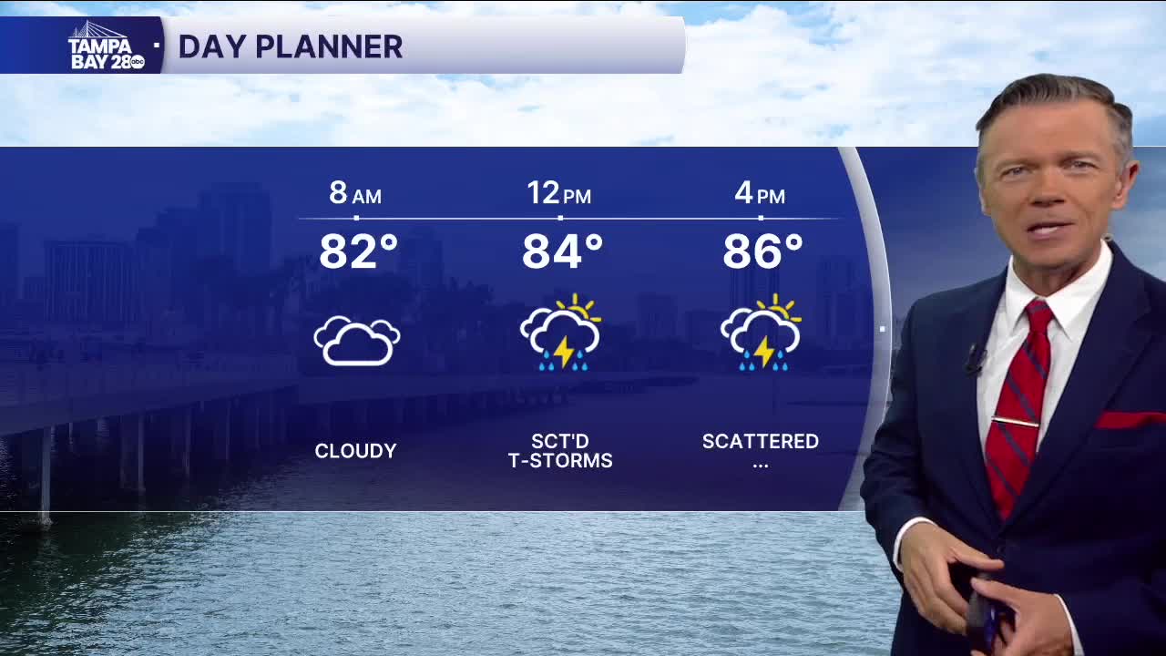


Mostly cloudy with scattered storms today.
We're already tracking a few showers on the radar this morning. More will develop and move in as we go through the morning. The higher coverage today is due to a front that is sitting across North Florida. There's plenty of moisture associated with this system too, so any rain that does fall today will be locally heavy, and some localized flooding is possible. Highs will reach the upper 80s.
Look for more scattered storms to develop on Friday and Saturday. It will not rain all day, and there will be sunshine at times too. Just check the radar often through those days, as we may even see some rain early in the morning too.
Late in the weekend and early next week, we've got another front moving in. This front will bring higher levels of moisture, increasing rain chances and coverage for Sunday and Monday. We'll see more clouds with this system too, and that could keep highs in the 80s.
Behind the front, there is a chance of some offshore flow for a couple of days. That means a return to hot temps, sunshine to start the day, and a good chance of rain, especially in the evenings, along the coast.
