

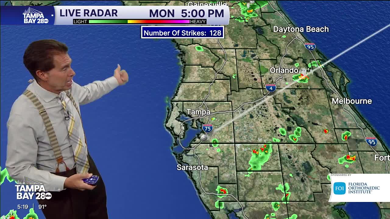


Tampa Bay is heading into a hotter and drier stretch this week as rain chances drop and feels-like temperatures climb above 100 degrees across much of the area.
Chief Meteorologist Denis Phillips said highs will stay in the low to mid-90s through the workweek, with humidity pushing heat index values close to advisory levels during the afternoons. While a few isolated storms could develop inland each day, most coastal communities are expected to stay mainly dry.
The recent shift comes after several wetter weeks across the region, with drier air now limiting widespread storm coverage. Inland areas such as Polk, Hardee and DeSoto counties have the best chance of seeing evening thunderstorms.
The tropics are also becoming more active as hurricane season enters its busiest period. Current systems are expected to remain away from the United States, but warned that the peak of hurricane season is still ahead through mid-October.
