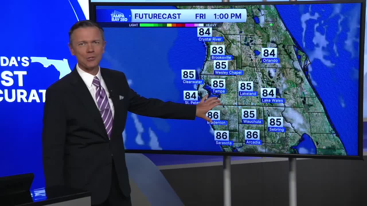


Mostly sunny and hot on Friday.
Watch for some patchy fog early on Friday, especially where heavy rain fell the evening prior. We'll start with temperatures in the 60s. Sunny skies will quickly develop as we go through the day, and temperatures will climb into the upper 80s. A couple of towns in the I-75 corridor may even hit 90 on Friday afternoon. A few pop-up showers are possible, BUT the rain coverage will be significantly lower at only 20-30%
Saturday looks even drier with just a 20% chance of a quick pop-up PM shower. Highs will return to the upper 80s.
Sunday continues to look like the driest of the weekend day with only a 10% chance of a pop-up downpour.
This drier weather pattern will stay with us from Monday through Wednesday. Highs will remain in the mid and upper-80s.
On Thursday, a cold front will approach from the northwest. It will bring a higher chance of afternoon and evening thunderstorms. Behind the front, look for a modest cool down with temperatures returning closer to normal for Friday next week.
