

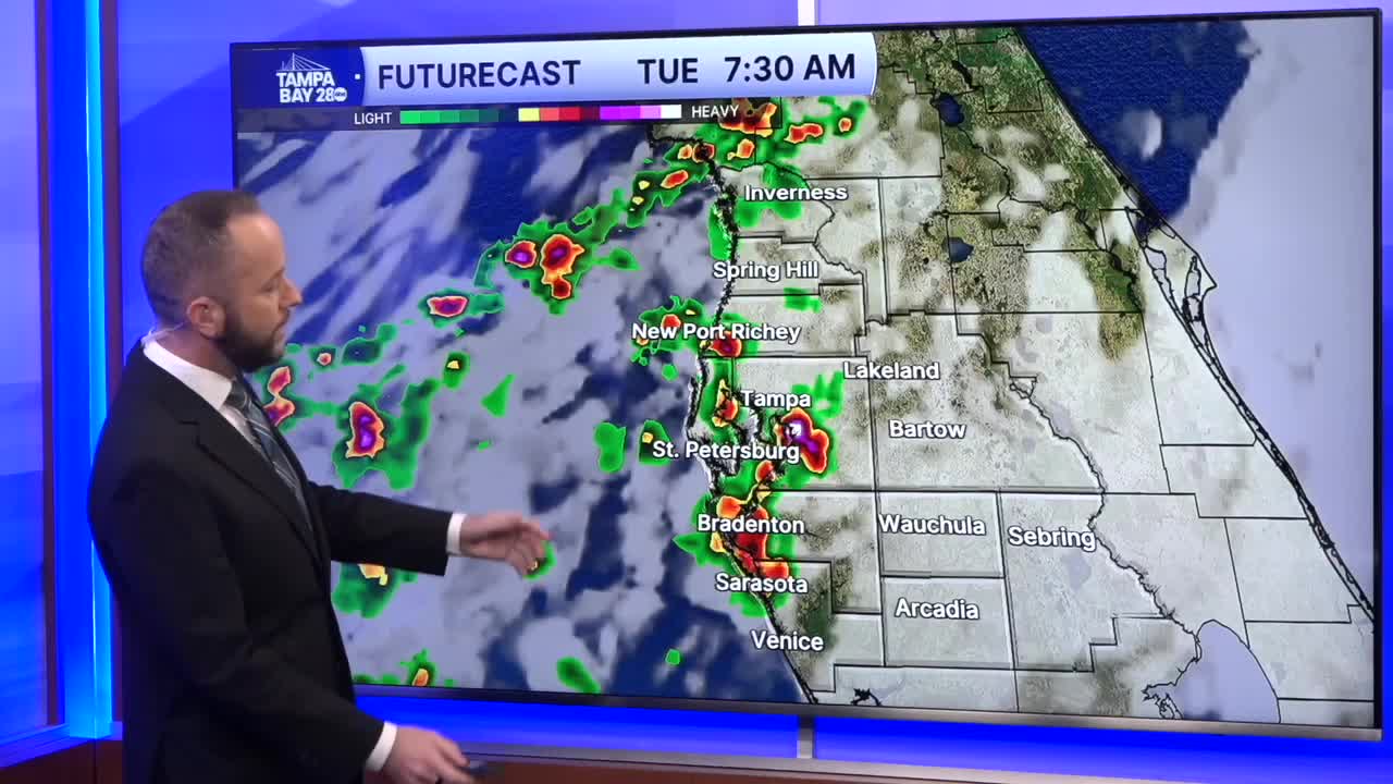


So. Much. Rain! That's what a lot of you have been saying just about today. Over the weekend, many coastal towns picked up a few inches of rain. Just this morning, those same areas from Pinellas Co north are seeing over 3".
Localized flooding in these areas continues to be a concern with additional showers and storms moving in from the Gulf through the afternoon.
The highest rain coverage today is from Pinellas and Hillsborough Co north. Southern spots, your rain chance is much lower. We'll see one more day of these onshore winds bringing the heaviest rain to coastal areas before a pattern change begins Wednesday.
The east wind pattern returns by midweek and that will allow for us to start dry and sunny in the mornings with hot temps in the low to mid 90s by the afternoon. Inland storms will then move west toward the coast with a heavy rain risk, but this is the typical pattern we see here in August. Still, localized flooding will be a concern with addtional heavy rain.
