

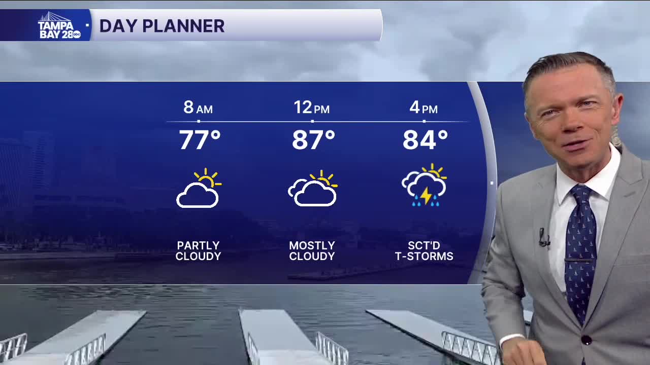


Afternoon storms are likely today.
The rain returns to a more typical summer timing today. The morning will be dry. This will be a great opportunity to catch up on some early-day beach and pool time. Or, maybe take advantage of the drier weather before 1 p.m. to cut the grass after all the rain we've seen recently.
After 1 p.m., check the radar often and look to the east. A large area of thunderstorms and rain will quickly begin to approach the coast. It should arrive at the beaches by 4 p.m. and will be intense in spots, causing localized flooding in neighborhoods and ponding on the roadways.
Because the storms will start early, they should wrap up by the early evening as well, leaving some dry weather around before the sun sets.
A tropical wave will pass near Florida on Friday. This will keep moisture levels high and provide the opportunity for more clouds and lots of scattered pop-up PM rain. The higher moisture levels will stick around through Saturday.
By Sunday, the system will move away, and drier air above us will reduce the number of expected pop-up storms Sunday into next week.
Have a great Thursday!
