

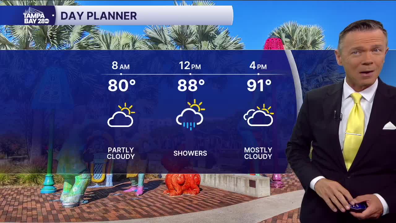


Scattered downpours return today.
Temperatures this morning are a little cooler than the last couple of days, with many towns and cities beginning Tuesday in the 70s. A few showers are possible along the coast before 8 a.m.
Scattered downpours will return by late morning west of I-75 and will move east as we go through midday. Highs will reach the low 90s with a heat index in the low 100s. The chance of rain is around 60%, but unlike yesterday, when the storms kept popping up throughout the afternoon, it's more likely that today's rain is a "one and done" situation for most.
Rain coverage will begin to decrease on Wednesday as dry air moves in from the southeast. Expect a 40% chance of PM showers.
Thursday will be the driest of the week with afternoon coverage of only 20-30%. The rain chances are likely to remain below average through the weekend.
With less rain, especially on Thursday and Friday, temperatures will likely be hotter and thus could approach record highs. With higher temps comes a higher heat index so heat advisories may be issued on any of these hotter days.
Stay cool!
