

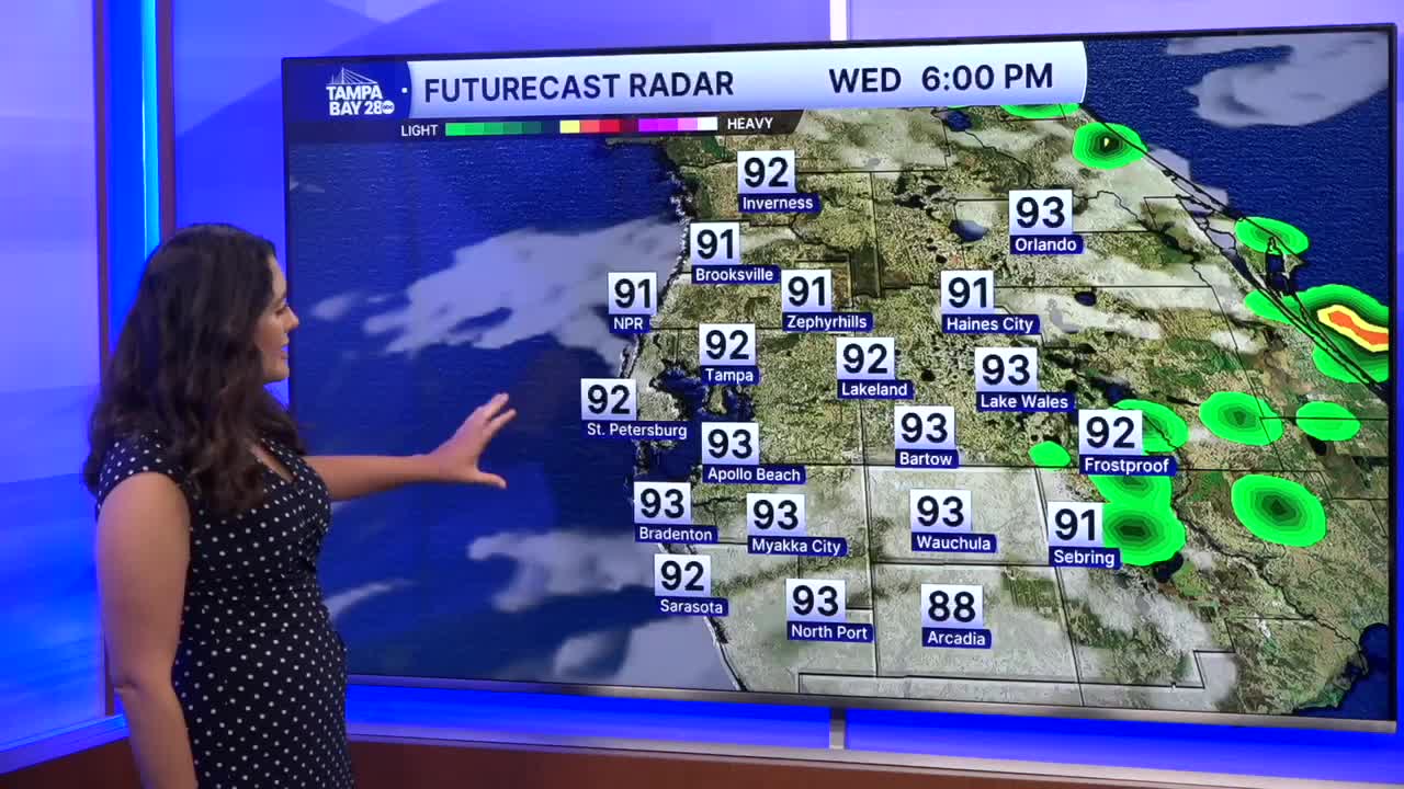


TAMPA, Fla. — Good Wednesday afternoon, everyone! It's another hot day with very little rain chances due to Saharan dust. More clouds are present as well. Highs in the low 90s, with those south of I-4 having the warmest temps today.
Thursday looks very similar to today, with afternoon rain coverage lower than we typically see and periods of cloudiness. Highs will reach into the low and mid 90s.
Friday into the weekend now looks wet, but many elements in the forecast could change. Models have been back and forth on a disorganized low in the Gulf for the weekend. The NHC has highlighted this with a 20% chance of development over the next 7 days. This could lead to heavy downpours and more cloud cover over the weekend for those west of I-75.

The forecast is likely to change, so make sure you stay updated!
