


Record heat is likely again today.
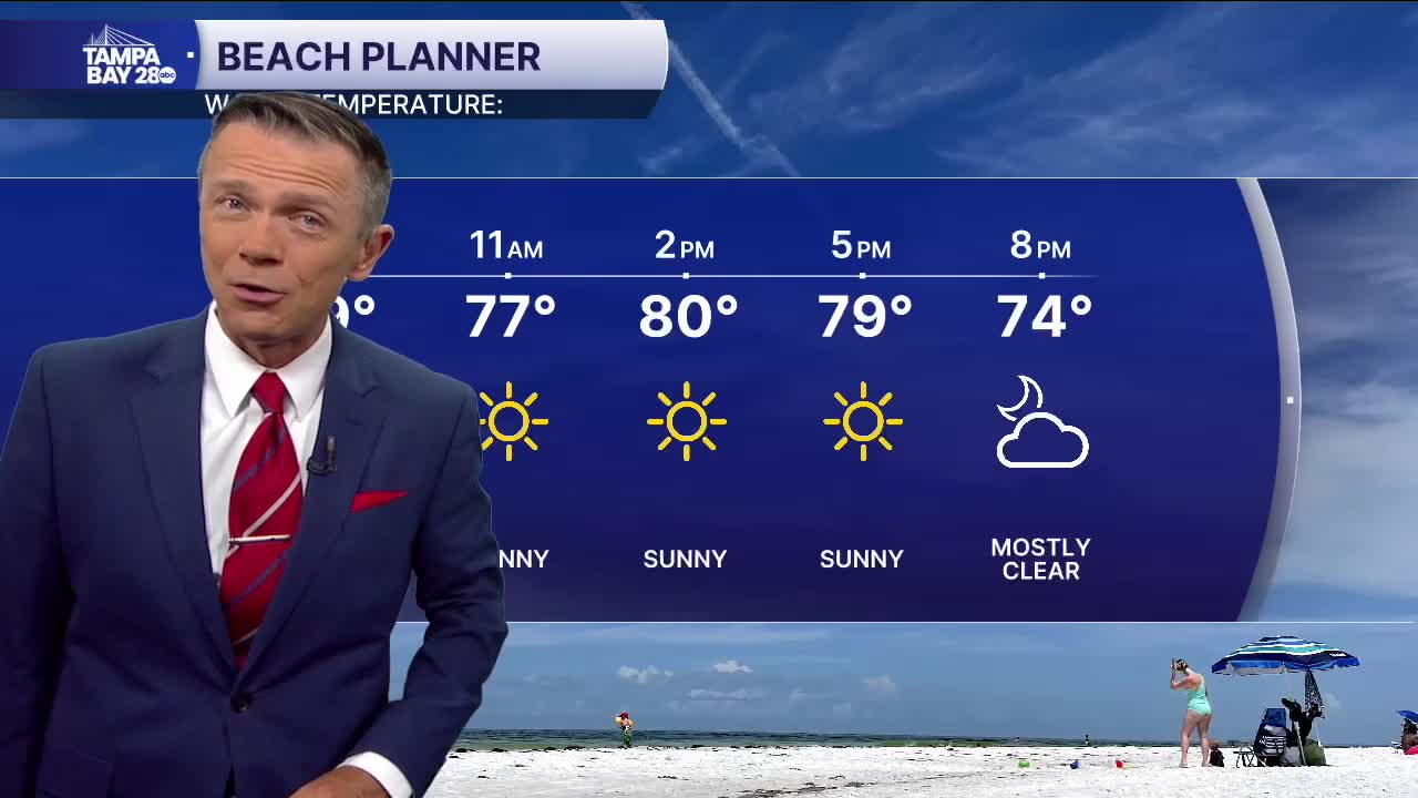
Look for sunny skies today with just a few fair-weather clouds developing in the afternoon. Highs will range from the low 80s at the beaches, to the upper 80s around Tampa, to the low 90s east of I-75. No rain is expected.
A narrow area of scattered rain will move through on Thursday afternoon with a front. Highs on Thursday will reach the low to mid-80s. The rain will likely fall between noon and 6 p.m., moving through the area NW to SE.
The front will stay south of us on Friday, bringing dry weather and lower humidity. It will not be much cooler with temperatures on Friday in the low 80s.
That front will start to drift north on Saturday, bringing with it a chance of pop-up afternoon showers south of I-4.
By Sunday, the front will be back over our area. Expect heavier pop-up rain in the afternoon, with rain chances as high as 60%.
Cooler weather will move in on Monday and stick around through at least the middle of next week.
