

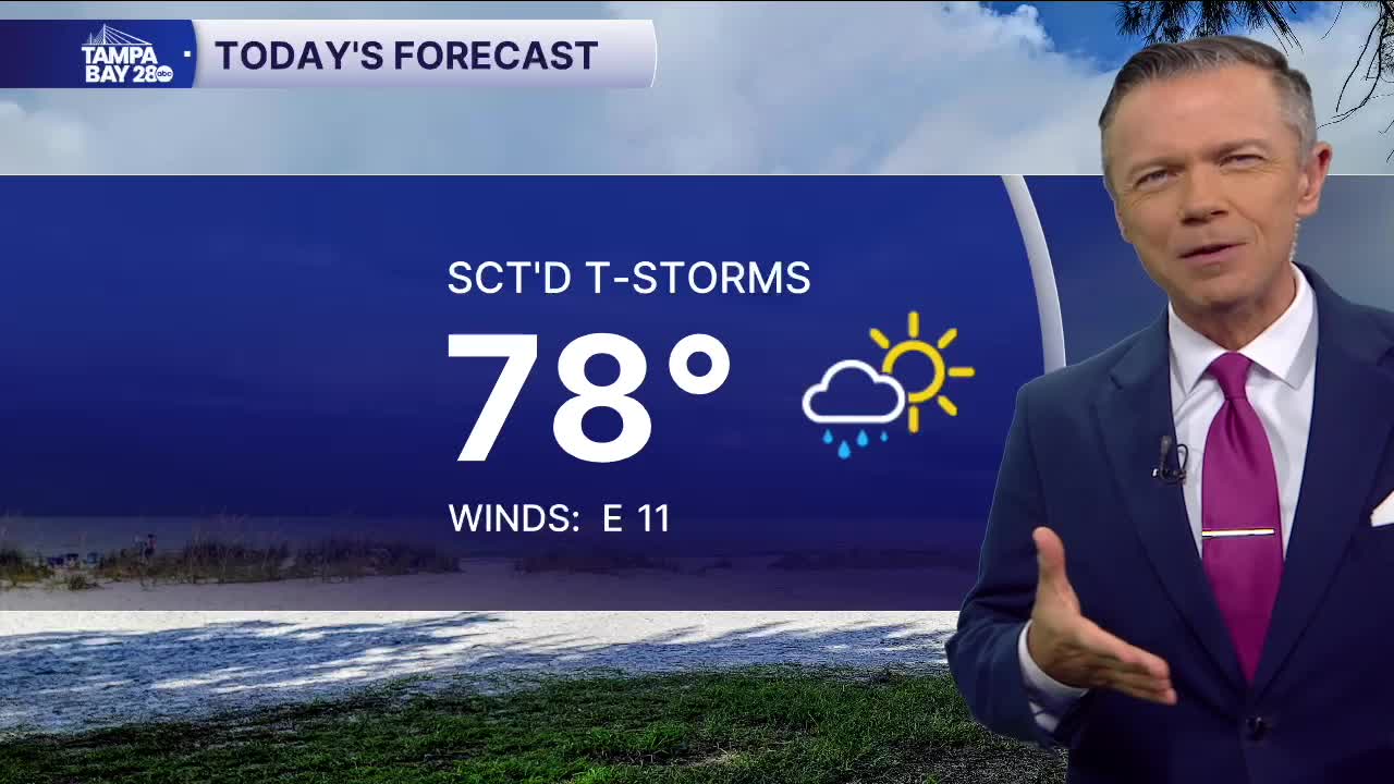


Good morning, Tampa Bay! If you’re stepping out the door early this Monday morning, grab the umbrella before you head out to the car. Right now across the bay, temperatures are sitting right around 70 degrees with dew points in the upper 60s and a light northeast breeze. We’ve got leftover moisture pooling across Central Florida, and that’s going to impact travel today. For the AM commute, scattered showers and a few isolated rumbles of thunder are developing mainly after 7:00 AM. While it won't be an all-out washout everywhere, expect wet pavement, localized spray on the bridges, and brief downpours that could slow down your drive on I-275 and the Veterans. Rain chances will hold near 40% through midday before coverage thins out this afternoon. By the PM drive home, the bulk of the widespread activity pushes south and east, leaving mostly cloudy to partly sunny skies and just a lingering stray shower risk, meaning your evening commute should be significantly smoother.
As we get past the morning rain, afternoon highs will climb into the low 80s—topping out right around 82 degrees—with a steady easterly breeze around 8 to 11 mph. Tonight, skies turn partly cloudy as drier air gradually works in from the north, allowing overnight lows to settle into the upper 60s to around 69 degrees. Looking ahead through the rest of the week, that drier pattern really takes charge. Tuesday through Thursday feature plenty of sunshine with highs consistently in the low-to-mid 80s and rain chances dropping down to just an isolated 20% pop-up during peak heating. Take it slow on the roads this morning, and enjoy the improving conditions as the day goes on!
