

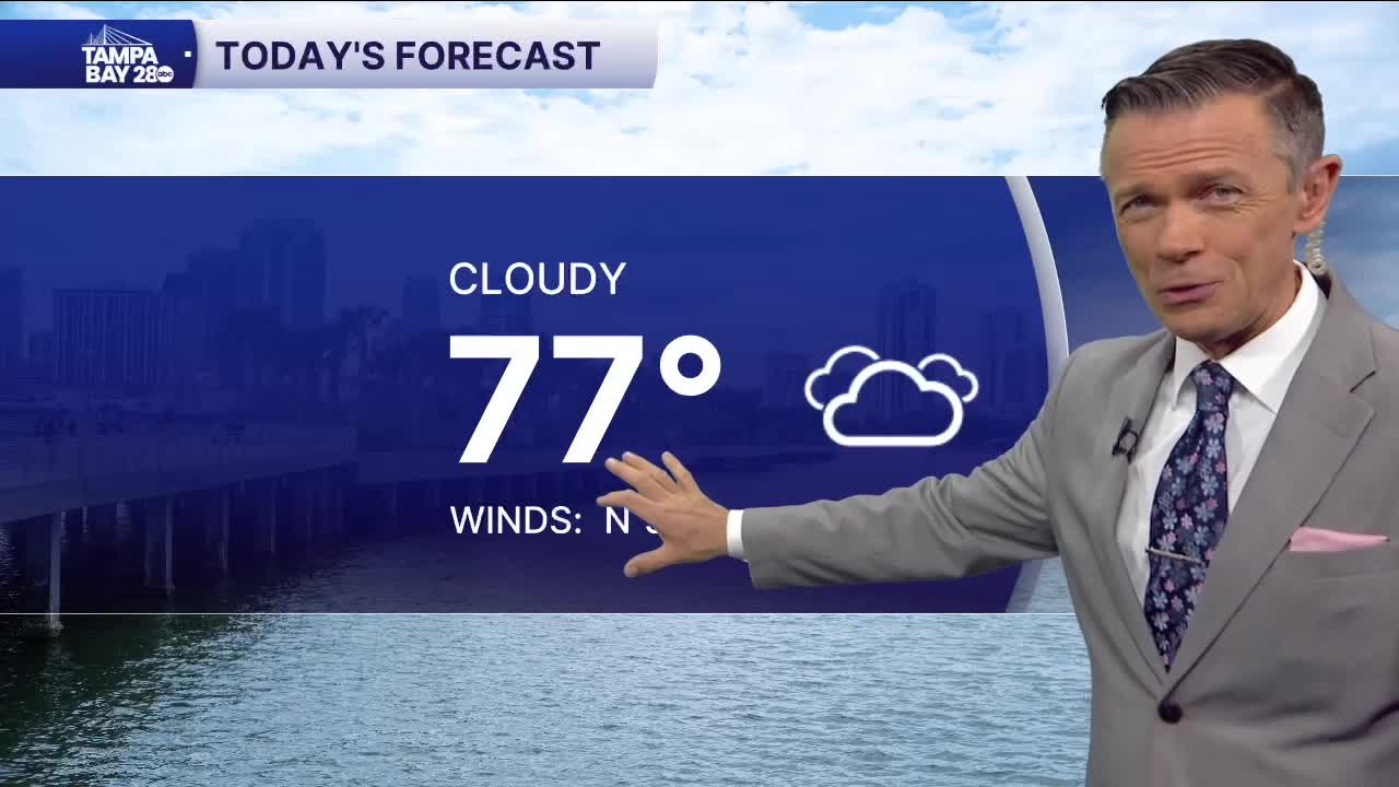


Good morning, Tampa Bay! If you’re stepping out the door early this Friday morning, we’re starting out at 70°F under cloudy skies with high humidity at 93% and a north breeze at 9 mph. Persistent low pressure sitting south of the state keeps plenty of Atlantic moisture streaming across the peninsula to wrap up the workweek, bringing light rain and overcast skies through much of the day. Expect daytime highs to top out at 74°F with a 65% chance of rain—watch for scattered morning light rain around the AM commute, a brief midday lull, and then steadier showers picking up between 4:00 PM and 6:00 PM for the drive home before tapering off tonight with a low of 70°F. If you’re heading out on the water today, keep in mind that gusty northeast winds continue to create hazardous marine conditions, with Small Craft Advisories lingering across the eastern Gulf waters.
Heading into Saturday, that unsettled pattern lingers into the first half of the weekend, though winds begin to back off and shift out of the northwest at 7 mph. Skies stay mostly cloudy with light rain still in the mix—rain chances sit at 45%, and localized flooding remains possible anywhere persistent or heavier showers set up. Daytime temperatures will climb a touch higher to a high of 76°F before drier air slowly begins working in Saturday night, dropping overnight lows to 68°F.
By Sunday, we finally get a welcome break from the gloom and wet weather. As that lingering moisture clears out, skies turn mostly sunny with rain chances dropping all the way down to 15%. Expect another comfortable afternoon high of 76°F paired with a gentle northwest breeze at 9 mph and slightly lower humidity, making for great conditions for an outdoor run, bike ride, or afternoon on the bay before temperatures dip to a crisp 65°F Sunday night.
