

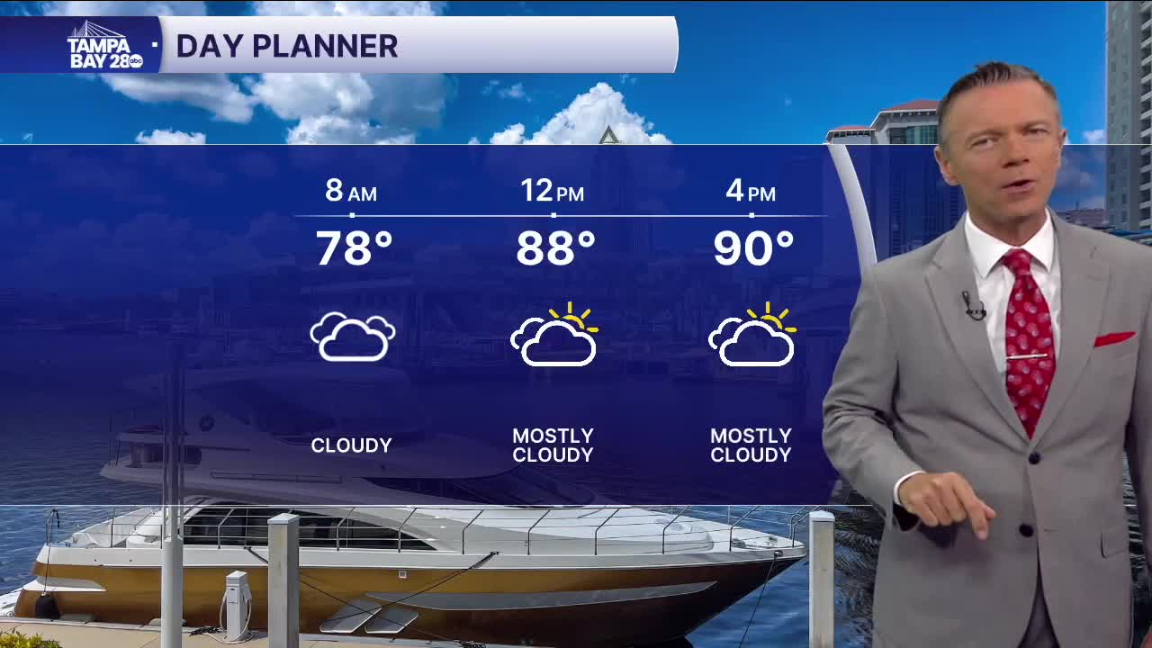


Lots of clouds and heat with a few showers.
Mostly cloudy skies this morning with some light rain likely along the Nature Coast early. Temperatures in the 70s and low 80s to start the day will warm into the 90s this afternoon. The hottest temperatures will be south of I-4, where there is likely to be less rain and more sun.
Thursday looks very similar to today, with afternoon rain coverage that's lower than we typically see and periods of cloudy skies. Highs will reach into the low and mid 90s.
The weekend forecast looks highly uncertain at this point. After trending away from any low-pressure system all week, one of the models is back to placing a storm system in the NE Gulf by Saturday. The presence of a low-pressure system south of the Big Bend would mean strong onshore flow for us and lots of clouds. Rain chances would be high west of I-75. Not only would rain be more likely, but it could also be heavy at times and very widespread, leading to higher rainfall totals.
This forecast is likely to change, so pay close attention to what's happening over the next two days, especially if you have outdoor plans this weekend.
