

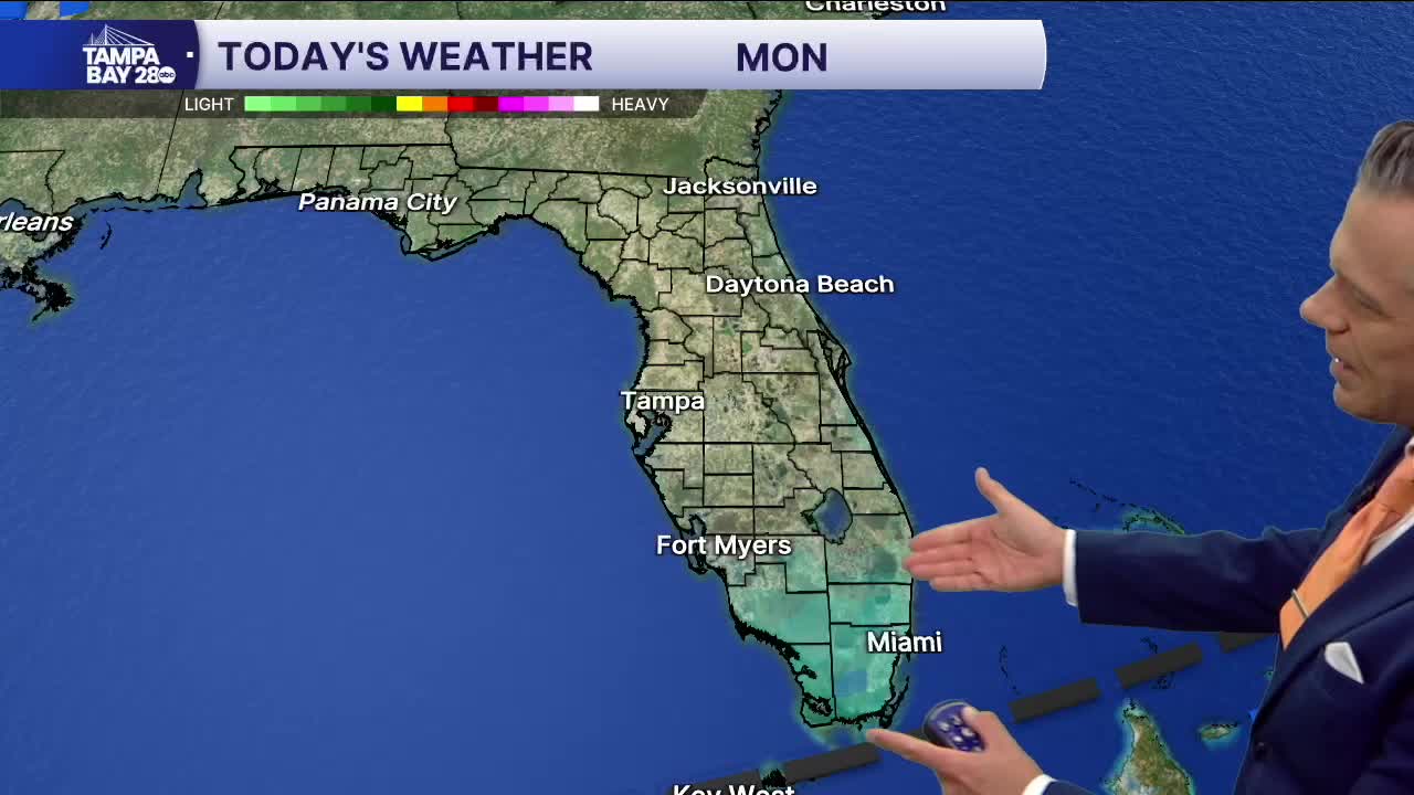


Good morning, Tampa Bay! If you’re already looking ahead and mapping out outdoor plans for the upcoming weekend, our weather pattern is getting ready to deliver an absolute taste of true late-fall chill across the area.
The setup starts late Thursday into Friday as a potent cold front sweeps across Central Florida, bringing scattered showers (a 30% to 40% chance Thursday night) before scouring out all the moisture and opening the floodgates to a much cooler Canadian air mass. By Friday night, skies clear out and temperatures will tumble fast, dropping all the way down to around 52 degrees in Tampa by sunrise Saturday morning—with inland spots likely dipping into the upper 40s.
For Saturday, you are going to need an extra layer for that early morning run or dog walk! We’ll see wall-to-wall blue skies from start to finish, but afternoon highs will struggle to climb, topping out right around 66 degrees under a crisp north breeze. Saturday night stays clear and chilly with overnight lows settling back into the low-to-mid 50s.
Heading into Sunday, the crisp, dry feel rolls right along. Expect mostly sunny skies with highs moderating just a bit into the lower 70s and overnight lows hovering in the mid-50s. It will make for incredible patio weather, great conditions for outdoor running, and fast, low-humidity rides on the bike—just be prepared for some chop on Tampa Bay with the post-frontal northerly flow!
