


Expect the showers and storms moving through with the cold front tonight to clear the area shortly after midnight. Isolated severe thunderstorms continue to be possible, but the risk continues to stay low.
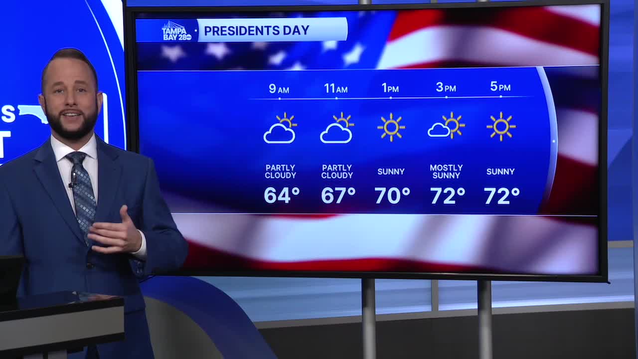
Tomorrow morning, we'll start with temps around 60 with a mix of clouds and sunshine. Highs for Presidents Day will top out in the low to mid 70s.
While there is no arctic air with this front, temps will be a little cooler Tuesday morning with lows in the low to mid 50s.
We warm up quickly as highs surge back up to around 80 by Tuesday afternoon and stay in the upper 70s and lower 80s through next weekend.
Our next cold front arrives by the end of next weekend with cooler air returning in about 9 days. Right now, highs in the 60s look possible with that next front.
