

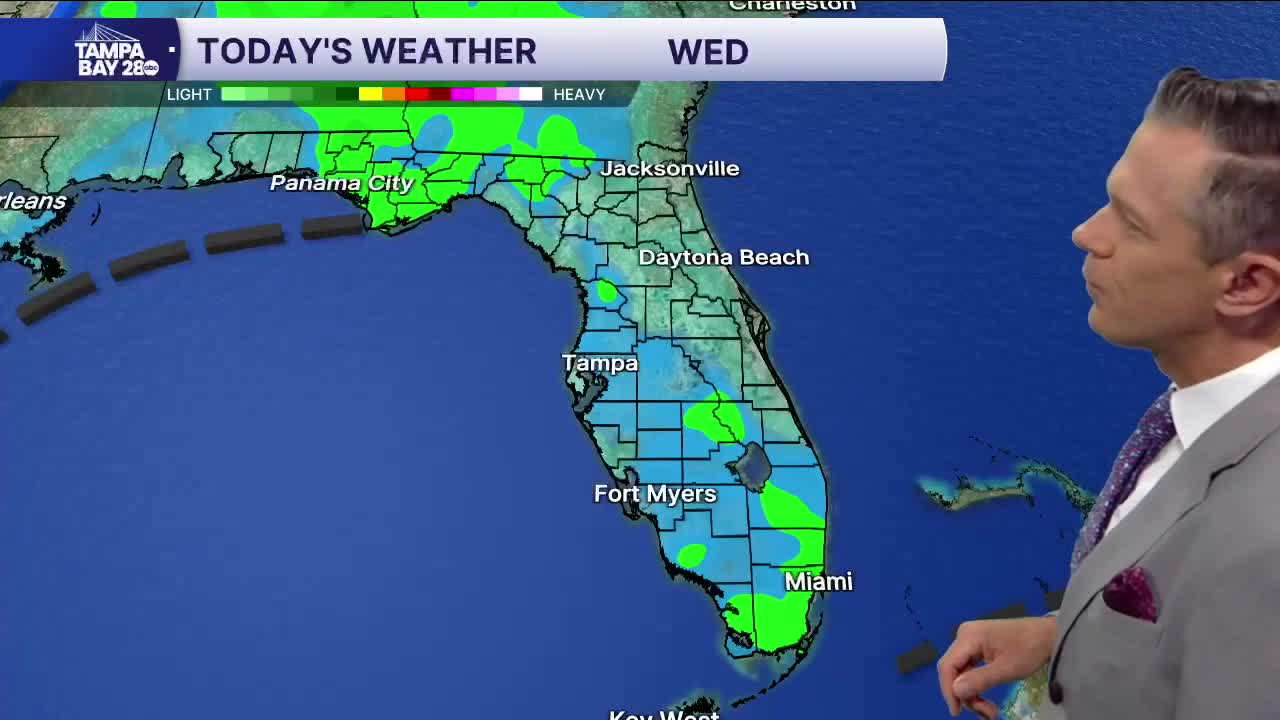


Good morning, Tampa Bay! If you’re stepping out early this Wednesday morning for a quick run or walking the dog, it’s a mild and comfortable start out there. Temperatures across the bay are sitting right around 70 to 71 degrees under partly cloudy skies, with light easterly winds at 5 to 8 mph. That stiff breeze we dealt with earlier in the week has finally laid down, leaving us with smooth travel for the morning drive.
As we head through today, expect a mix of sun and clouds with afternoon highs pushing well above average into the mid-80s—topping out right near 86 degrees. With daytime heating and east-southeast winds around 5 to 8 mph, low-level moisture will pool across the peninsula. Most of the day will be dry, but keep an eye to the sky toward the evening drive: isolated showers could pop up after 3:00 PM, with scattered showers and a few thunderstorms developing after 4:00 PM (around a 30% chance). Anything that fires up will wrap up quickly after sunset, leaving partly cloudy skies and an overnight low settling around 70 degrees with calm winds.
Looking ahead through the rest of the week, Thursday brings wall-to-wall sunshine and highs holding near 86 degrees, followed by mostly sunny skies and mid-80s on Friday with light afternoon sea breezes. Saturday stays bright and pleasant around 82 degrees. But keep your eyes on Sunday and early next week: our next cold front pushes across Florida, bringing a slight 20% chance of showers Sunday night and Monday, and finally ushering in noticeably cooler, crisper air with highs tumbling into the upper 70s and overnight lows dipping to around 60 degrees!
