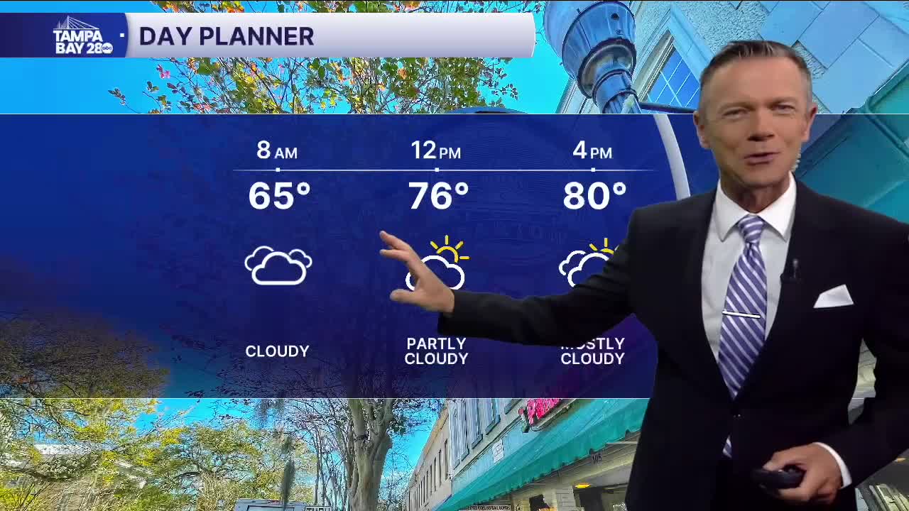


A little cooler today.
The showers from yesterday were part of a cold front that has now stalled over south Florida. Since we're north of the front, it is a little cooler and drier out there this morning. During the afternoon, we'll see partly sunny skies and highs near 80. Because the front is nearby and will start to drift north tonight, a couple of pop-up showers are possible this afternoon, especially from the I-4 corridor and points south.
Saturday and Sunday will look and feel like summer. We'll see dry weather in the early morning. But then anytime during the day we'll see a chance of pop-up showers and maybe a couple thunderstorms. Coverage will range in the 40-60% range with highs in the 80s.
A cold front will bring a higher chance of rain on Monday, along with a few thunderstorms. The front will bring cooler weather next week.
Highs will likely stay in the 60s on Tuesday and Wednesday with morning temperatures in the 40s.
Temps will return to the 70s in the afternoons on Thursday and into next weekend. Mornings will remain cooler in the 50s.
Have a great Spring Break!
