

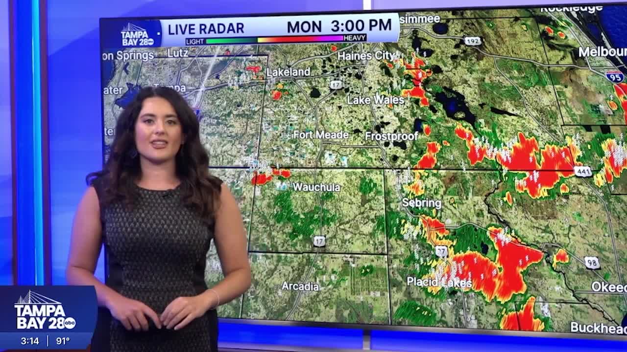


TAMPA, Fla. — Good Monday afternoon & evening Tampa Bay! It is grossly hot and humid with a few showers after our holiday weekend.
Peak rainy season kicks into gear heavier downpours are expected! Highs camp out in the low to mid 90s feeling well into the triple digits. That humidity is no joke. Most of the showers and storms will remain east of I-75 throughout the afternoon and evening as onshore flow sticks around.
Showers start along the coast on Tuesday with temps near 80 degrees. Highs near the low to mid 90s as showers push east throughout the day. Coverage looks lower for tomorrow and it will dip over the next few days.
Heat and humidity bear no breaks. Saharan dust from Africa take sup residence over us. Drying us out more and bringing temps for some into the mid to upper 90s! We could approach a record on Friday. The weekend brings back a typical summer-time pattern.
I hope you all have a great day!
