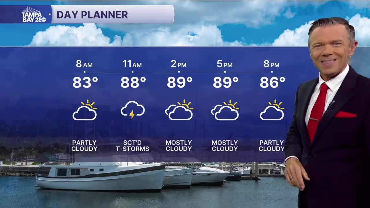


Expect higher rain coverage today and more clouds too.
We're already seeing a few showers along the coast on this Thursday morning. These will only become more numerous as we go through the morning and into midday. Coverage will be around 40% today. The rain will move west to east with the highest rain chances near the coast before 3pm and then moving east of I-75 for the evening hours.
As we move toward the weekend, rain chances will increase, especially in the morning. Friday and Saturday we'll already wake up to sct'd rain along the coast. This rain will slowly shift east of I-75 for the afternoon and evening. Because we'll see the rain earlier in the day, there will be more clouds. This will keep temps in the 80s Friday, Saturday and likely on Sunday too.
TROPICS: Erin will begin to accelerate away from the US east coast today. High surf from the storm however, will remain an issue through Friday. There is another system behind Erin that is also likely to develop by the weekend. This one will turn away from the East Coast quickly and will not be a threat to any land.
